
Kompass
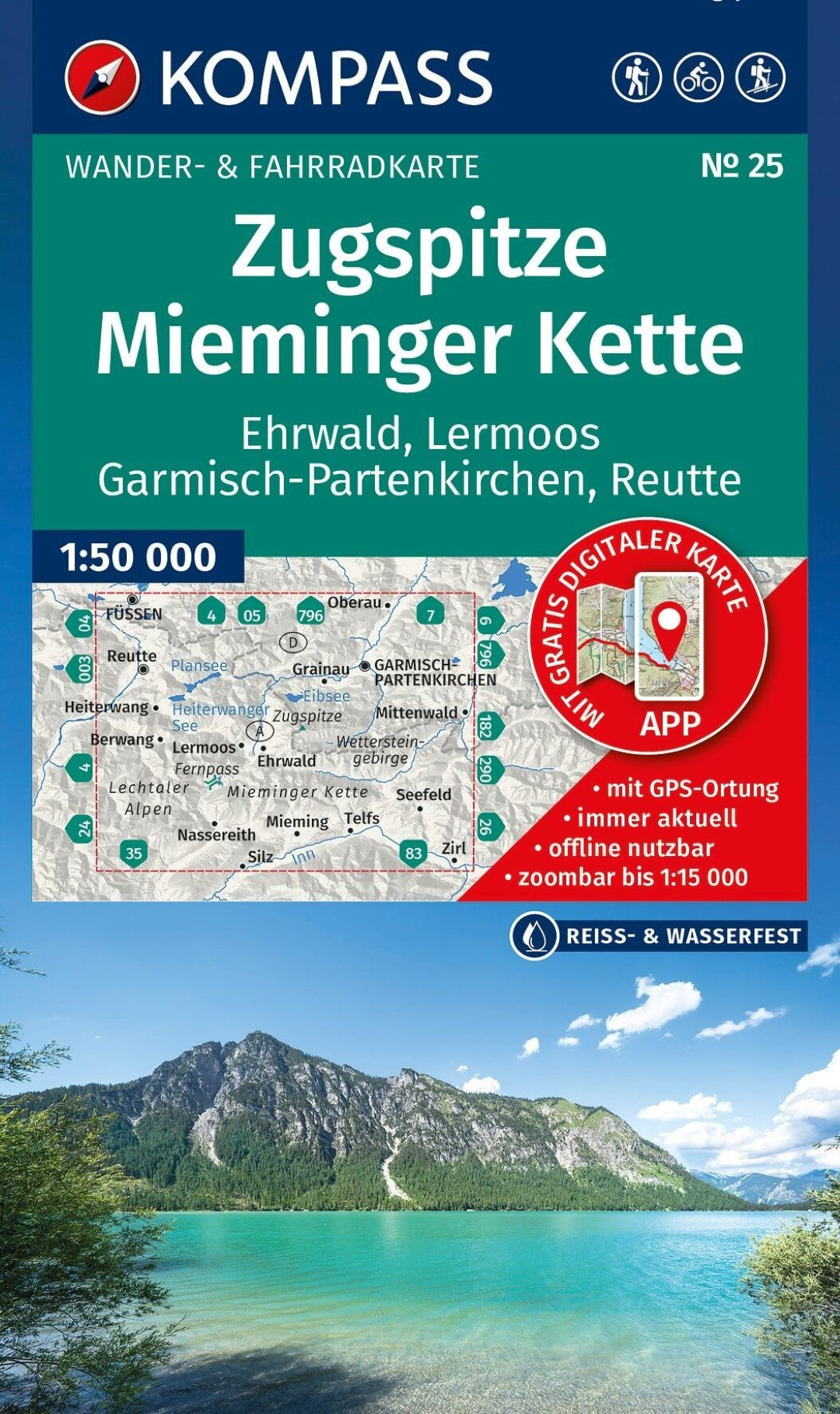
Zugspitze Mieminger Kette Hiking Map
Zugspitze Mieminger Kette Hiking Map
Couldn't load pickup availability
- SKU: KOM_25_ZMK_27
Explore the spectacular alpine landscapes around Zugspitze and the Mieminger Kette, including Ehrwald, Lermoos, Garmisch-Partenkirchen, and Reutte, with this detailed KOMPASS hiking map. Designed for hiking, cycling, and a wide range of outdoor activities, the map combines clear, easy-to-read cartography with extensive information for planning trips and navigating in the field.
At a 1:50,000 scale, the map provides an excellent overview of the region while retaining the detail needed for outdoor exploration. Official hiking trails are shown with their names and route numbers, along with long-distance trails, cycling routes and trails, via ferrata, mountain huts and restaurants, parking areas, bus and train connections, ski touring routes, cross-country ski trails, springs, swimming areas, and many other useful points of interest.
The map also provides an intuitive representation of the alpine landscape. Vegetation, contour lines, rock formations, and shaded relief clearly illustrate the terrain, elevation, and character of the mountains, making it easier to understand the landscape and plan routes.
Map Features:
- Scale: 1:50,000 — 1 cm on the map represents 500 m in the landscape
- Waterproof and tear-resistant paper for reliable use in changing weather conditions
- Detailed hiking and cycling trails, including named and numbered official routes
- Via ferrata, mountain huts, restaurants, parking, and public transportation
- Ski touring routes and cross-country ski trails
- Natural features including springs, swimming areas, vegetation, and rock formations
- Shaded relief and contour lines for clear visualization of alpine terrain
- Offline map access through the KOMPASS hiking map app
- Type: Folded Map
- Subtype: Hiking
- Language: English, German, Italian
- Publication Date: 2026-10-01
- Scale: 1:50,000
- Regions Covered: Central Europe, Europe
- Countries Covered: Germany
- ISBN: 9783991546221
- MPN: 25
- Folded Size: 5" (W) x 7.5" (H)
- Unfolded Size: 43" (W) x 29" (H)
- Weight: 5.1 oz