Editorial Compass Chile Spa
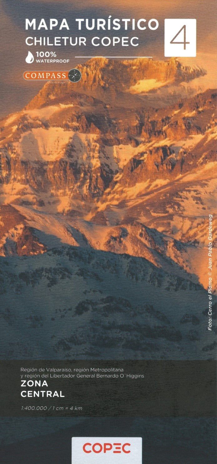
Zona Central (Valparaíso, Regíon Metropolitana & Regíon del Libertador General Bernardo O'Higgins) - Chile Tourist Road Map #4
Zona Central (Valparaíso, Regíon Metropolitana & Regíon del Libertador General Bernardo O'Higgins) - Chile Tourist Road Map #4
Couldn't load pickup availability
- SKU: COP_4_CENT_25
This map is #4 of part of a 9-sheet series of indexed and GPS-compatible regional maps from Compass Editorial, covers the Central Zone of Chile at a 1:400,000 scale. Printed on lightweight, waterproof, and tear-resistant synthetic paper, the map provides an excellent representation of the topography, with satellite imagery enhanced by shading and altitude coloring. The road map on one side extends from just above 32° to just beyond 34°15' south, covering Los Vilos to Rancagua, and includes the Paso Internacional Los Libertadores (Cristo Redentor) mountain pass and Aconcagua Provincial Park in Argentina.
On the reverse side, you’ll find detailed urban maps of Santiago (with an enlargement of the city center and metro network), Valparaíso, and Viña del Mar, with special indications for city tourism. The map highlights national parks and protected areas, including La Campana National Park, El Morado Natural Monument, Río Clarillo National Reserve, and Río Cipreses National Reserve.
The road network is clearly classified, showing dirt roads, 4WD tracks, paved roads, and key locations such as border crossings, petrol stations, toll booths, and police units. Driving distances are marked along main and secondary routes, and the map also includes railway lines, local airports, and various places of interest, including UNESCO World Heritage sites, beaches, hot springs, trekking areas, and cultural or historical landmarks.
Each side of the map features its own index and distance table, along with a latitude and longitude grid at 15' intervals. This map is an essential tool for travelers, providing both detailed regional and urban navigation in central Chile.
- Type: Folded Map
- Subtype: Outdoor Recreation Maps
- Language: English, Spanish
- Publication Date: 2025-02-01
- Scale: 1:400,000
- Regions Covered: South America
- Countries Covered: Chile
- ISBN: 9789569248771
- MPN: 4
- Folded Size: 3.94" (W) x 9.45" (H)
- Unfolded Size: 27.17" (W) x 38.58" (H)
- Weight: 4.4 oz