Chrismar Mapping Services, Inc
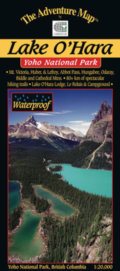
Yoho National Park-- Lake O'Hara Area Hiking Map
Yoho National Park-- Lake O'Hara Area Hiking Map
Regular price
$8.95 USD
Regular price
Sale price
$8.95 USD
Unit price
per
Shipping calculated at checkout.
Couldn't load pickup availability
- SKU: CHR_OHARA_7
- An exceptionally picturesque area within B.C.'s Yoho N.P., and just over the continental divide from Lake Louise. This detailed 1:20,000 scale map is your guide to over 80 km of hiking trails, alpine meadows, pristine mountain lakes, massive glaciers, and awesome vistas in a compact area well away from the hustle and bustle of this popular tourist region. Access is restricted to two bus rides in each day, or you can hike in either over the pass from Lake Louise or more easily from the highway near Field B.C. Restricted access means you'll enjoy greater solitude than busier tourist centres like Banff and Lake Louise. We consider this area to be one of the best alpine hiking destinations in the Rockies.
- Type: Folded Map
- Subtype: Hiking
- Language: English
- Publication Date: 2007-06-01
- Scale: 1:20,000
- Regions Covered: North America
- Countries Covered: Canada
- States Covered: Ontario
- ISBN: 9780929140391
- UPC: 777947029059
- Folded Size: 4" (W) x 9" (H)
- Unfolded Size: 22" (W) x 28" (H)
- Weight: 1.5 oz