1
/
of
1
Beartooth Publishing
Yellowstone South: Wyoming, Montana, Idaho: outdoor recreation map : topographic shaded relief
Yellowstone South: Wyoming, Montana, Idaho: outdoor recreation map : topographic shaded relief
Regular price
$15.95 USD
Regular price
Sale price
$15.95 USD
Unit price
/
per
Shipping calculated at checkout.
Couldn't load pickup availability
- SKU: BP_YELLOWSTON_S_15
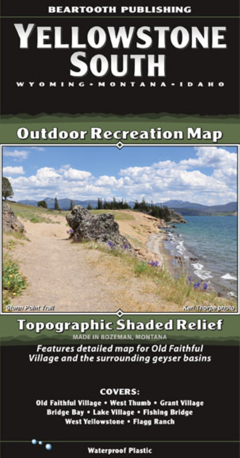
- Outdoor recreation map with topographic shaded relief. Covers Old Faithful Village, West Thumb, Grant Village, Bridge Bay, Lake Village, Fishing Bridge, West Yellowstone, Flagg Ranch. The only locally-made Yellowstone map. Includes descriptions for 15 of Yellowstone's best day hikes with hike descriptions written by Keri Thorpe, former Yellowstone National Park ranger. Also includes park regulation information. Features detailed maps for Mammoth, Tower/Roosevelt, Canyon, and Old Faithful villages
- Type: Folded Map
- Subtype: Park
- Language: English
- Publication Date: 2015-06-01
- Scale: 1:80,000
- Regions Covered: North America, North-central U.S./Great Plains
- Countries Covered: United States
- States Covered: Idaho, Montana, Wyoming
- ISBN: 9781887460040
- Folded Size: 4.33" (W) x 8.27" (H)
- Unfolded Size: 38.58" (W) x 24.41" (H)
- Weight: 2 oz


