1
/
of
1
GTR Mapping
Yellowstone and Grand Teton, Wyoming, Topographic
Yellowstone and Grand Teton, Wyoming, Topographic
Regular price
$5.95 USD
Regular price
Sale price
$5.95 USD
Unit price
/
per
Shipping calculated at checkout.
Couldn't load pickup availability
- SKU: GTR_YELLOWSTO_19
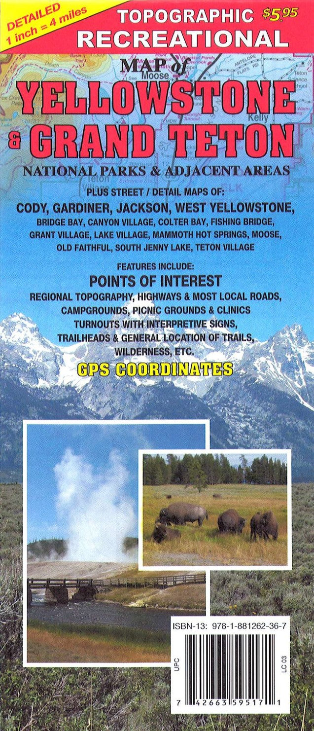
- This is a detailed folded map of Yellowstone and Grand Teton national parks and adjacent areas at 1" = 4 miles. It also shows geography with color shaded elevations. Detailed street maps of Jackson, Cody, West Yellowstone, Gardiner, and many park areas are included on the back.
- Type: Folded Map
- Subtype: Park
- Language: English
- Publication Date: 2014-06-01
- Scale: 1:253,440
- Regions Covered: North America, North-central U.S./Great Plains
- Countries Covered: United States
- States Covered: Wyoming
- ISBN: 9781881262367
- UPC: 742663595171
- Folded Size: 4.25" (W) x 9.75" (H)
- Unfolded Size: 28.94" (W) x 20.67" (H)
- Weight: 1.2 oz


