
IMRAY
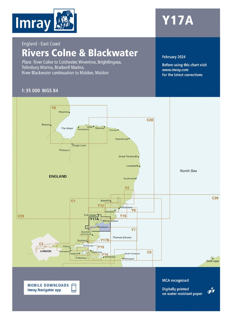
Y17A The Rivers Colne and Blackwater Nautical Charts
Y17A The Rivers Colne and Blackwater Nautical Charts
Regular price
$49.99 USD
Regular price
Sale price
$49.99 USD
Unit price
per
Shipping calculated at checkout.
Couldn't load pickup availability
- SKU: IMR_ICY17A_1
- Imray nautical chart covering Y17A The Rivers Colne and Blackwater. The chart provides detailed coastal and navigational information for passage planning, approaches and harbour navigation in the area shown.
- Type: Flat Map
- Subtype: General Nautical
- Language: English
- Publication Date: 2022-01-01
- Regions Covered: British Isles, Europe
- Countries Covered: United Kingdom
- ISBN: 9781786794192
- MPN: ICY17A-1
- Folded Size: N/A
- Unfolded Size: 16.54" (W) x 23.23" (H)
- Weight: 6 oz