DeLorme
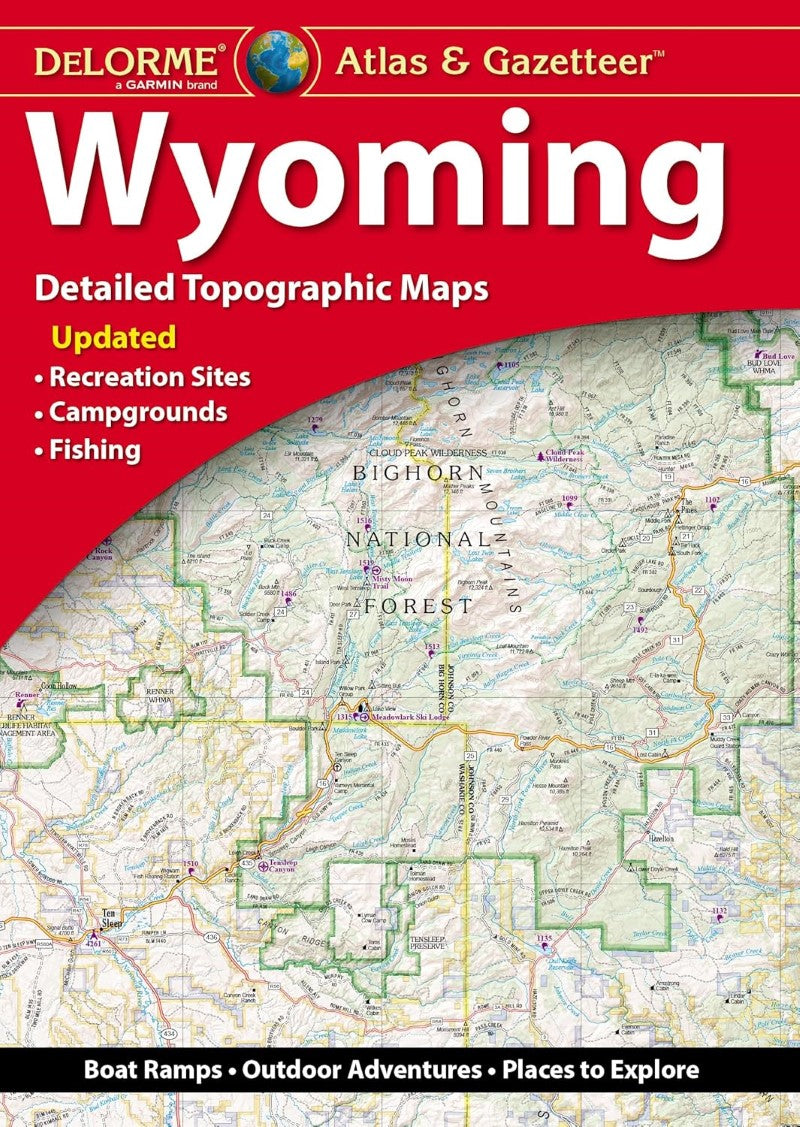
Wyoming Atlas and Gazetteer
Wyoming Atlas and Gazetteer
Couldn't load pickup availability
- SKU: DELO_WY_AT_24
With an incredible wealth of detail, DeLorme's Atlas & Gazetteer is the perfect companion for exploring the Wyoming outdoors. Extensively indexed, full-color topographic maps provide information on everything from cities and towns to historic sites, scenic drives, trailheads, boat ramps and even prime fishing spots. The Atlas & Gazetteer is your most comprehensive navigational guide to Wyoming's backcountry. - Full-color topographic maps provide information on everything from cities and towns to historic sites, scenic drives, recreation areas, trailheads, boat ramps and prime fishing spots. - Extensively indexed. - Handy latitude/longitude overlay grid for each map allows you to navigate with GPS. - Inset maps provided for Yellowstone National Park, major cities as well as all state lands. Product Details: Dimensions: 15.5" x 11".
- Type: Paperback Atlas
- Subtype: Popular/Travel
- Language: English
- Publication Date: 2024-10-03
- Scale: Scales differ
- Regions Covered: North America, North-central U.S./Great Plains
- Countries Covered: United States
- States Covered: Wyoming
- ISBN: 9781946494894
- UPC: 753759194680
- Folded Size: N/A
- Unfolded Size: 15.75" (W) x 11.02" (H)
- Weight: 13.8 oz