Freytag & Berndt
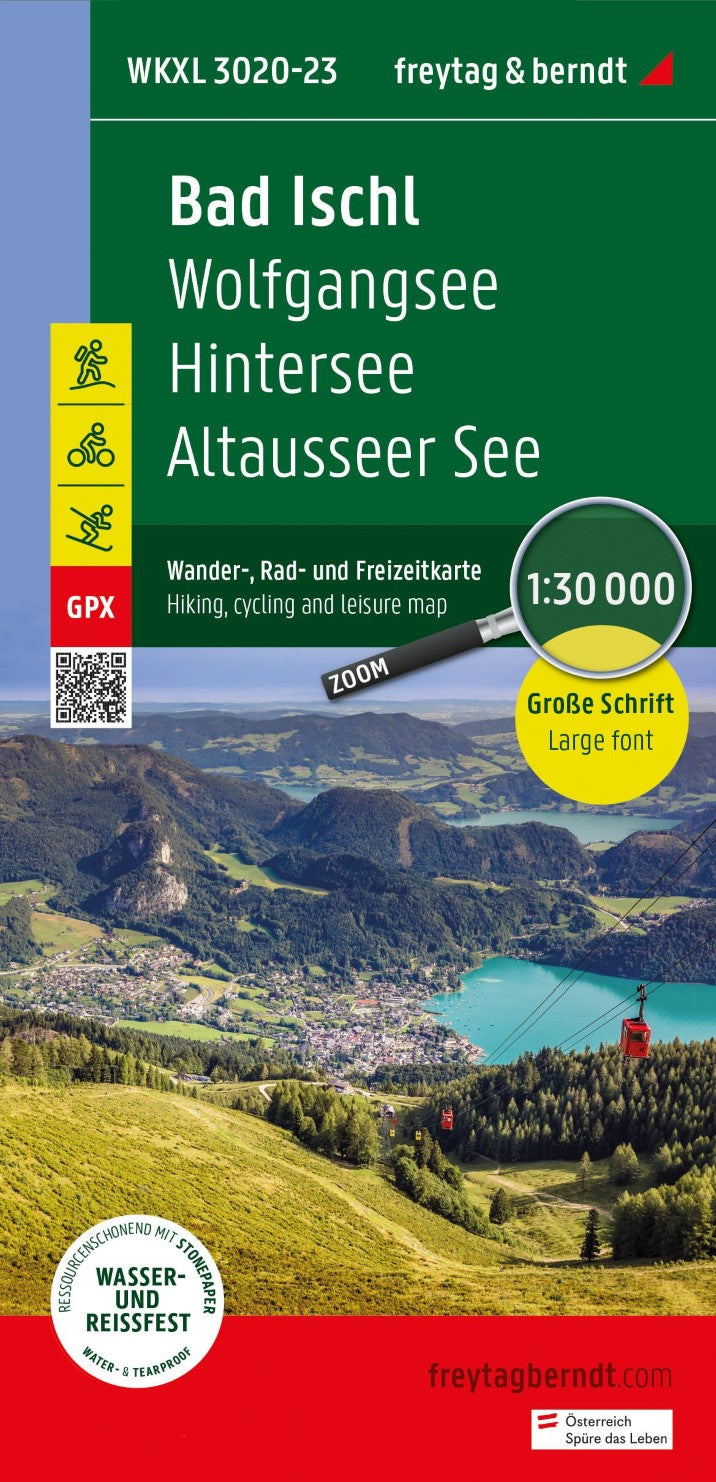
WKXL 3020 Bad Ischl, Wander-, Rad- und Freizeitkarte 1:30.000 = Bad Ischl Hiking, Cycling, and Recreation Map, 1:30,000
WKXL 3020 Bad Ischl, Wander-, Rad- und Freizeitkarte 1:30.000 = Bad Ischl Hiking, Cycling, and Recreation Map, 1:30,000
Regular price
$15.95 USD
Regular price
Sale price
$15.95 USD
Unit price
per
Shipping calculated at checkout.
Low stock
Couldn't load pickup availability
- SKU: FB_WK_XL_3020_23
- The Hiking Map of Bad Ischl 1:30.000 contains updated information on hiking trails, cycling and mountain biking routes, huts, natural monuments, cultural sights and leisure facilities. The hiking map is especially easy to read due to the exact scale and the EXTRA LARGE FONT. The enclosed information booklet contains a selection of the best hiking trails, bike paths and mountain bike trails, as well as a brief description of each municipality with its recreational offerings. Leisure information, hiking and long-distance hiking trails, mountain bike and bicycle tours, place index with postal codes, GPS-compatible, via ferrata, ski route, cross-country skiing route, Nordic-walking route.
- Type: Folded Map
- Subtype: Hiking
- Language: English, German
- Publication Date: 2023-04-30
- Scale: 1:30,000
- Regions Covered: Central Europe, Europe
- Countries Covered: Austria
- ISBN: 9783707922196
- MPN: WKXL 3020
- Folded Size: 4" (W) x 8" (H)
- Unfolded Size: 36" (W) x 24" (H)
- Weight: 2.71 oz