Freytag & Berndt
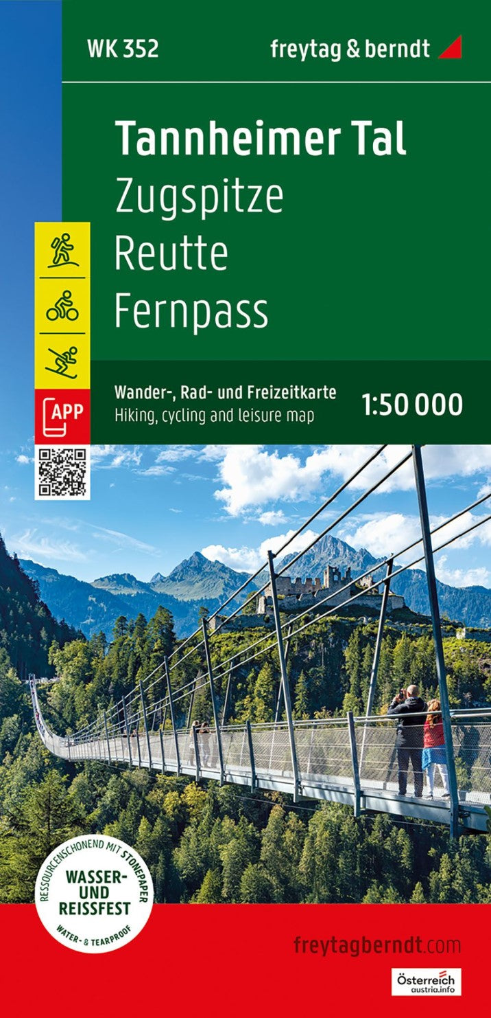
WK 352 Ehrwald - Lermoos - Reutte - Tannheimer Tal - Zugspitze Hiking Map, 1:50 000
WK 352 Ehrwald - Lermoos - Reutte - Tannheimer Tal - Zugspitze Hiking Map, 1:50 000
Couldn't load pickup availability
- SKU: FB_WK_50_352_25
The Tannheimer Tal Hiking, Cycling, and Leisure Map is the perfect companion for outdoor enthusiasts exploring this beautiful region. Whether you're planning a hiking adventure, cycling tour, or a leisurely excursion, this map provides all the details you need to navigate the area and discover scenic viewpoints, attractions, and hidden gems along your route. For winter sports enthusiasts, the map also includes ski routes, cross-country skiing trails, and all cable cars and lifts.
Key Features:
Scale: 1:50,000
Comprehensive Coverage: Includes hiking trails, long-distance hiking routes, cycling paths, mountain biking tours, ski routes, and cross-country skiing tracks.
Tourist Information: Key landmarks, viewpoints, and points of interest are clearly marked throughout the region.
Rother App: Access a digital version of the map with the full network of hiking and cycling trails, along with sample tours, available through the free Rother App (free registration required).
Durable & Weatherproof: The map is printed on waterproof and tear-resistant paper, ensuring reliable use in any weather conditions.
Size: Approx. 82 x 69 cm, double-sided for maximum detail.
Why Choose This Map?
Versatile for All Seasons: Whether you're hiking, cycling, or skiing, this map provides detailed information for year-round outdoor activities, making it an essential tool for both summer and winter adventures.
Eco-Friendly Production: Made from 80% ground limestone, this map is manufactured in an environmentally sustainable way, using significantly fewer resources such as water, wood, and energy compared to traditional paper.
Practical Digital Companion: The Rother App offers a convenient digital version of the map, along with suggested tours and routes, ensuring you’re always prepared no matter where you are.
Eco-Conscious and High-Quality
Printed in Austria, the Tannheimer Tal Hiking, Cycling, and Leisure Map is produced with a focus on sustainability, offering a high-quality and environmentally friendly map that supports your outdoor adventures.Whether you're trekking through lush valleys, cycling along scenic trails, or skiing the snowy slopes, this map ensures you’ll get the most out of your time in the stunning Tannheimer Tal region.
- Type: Folded Map
- Subtype: Hiking
- Language: English, French, German
- Publication Date: 2025-05-01
- Scale: 1:50 000
- Regions Covered: Central Europe, Europe
- Countries Covered: Austria
- ISBN: 9783707924329
- MPN: WK 352-25
- Folded Size: 3.93" (W) x 8.06" (H)
- Unfolded Size: 3.93" (W) x 8.06" (H)
- Weight: 5.29 oz