1
/
of
1
Freytag & Berndt
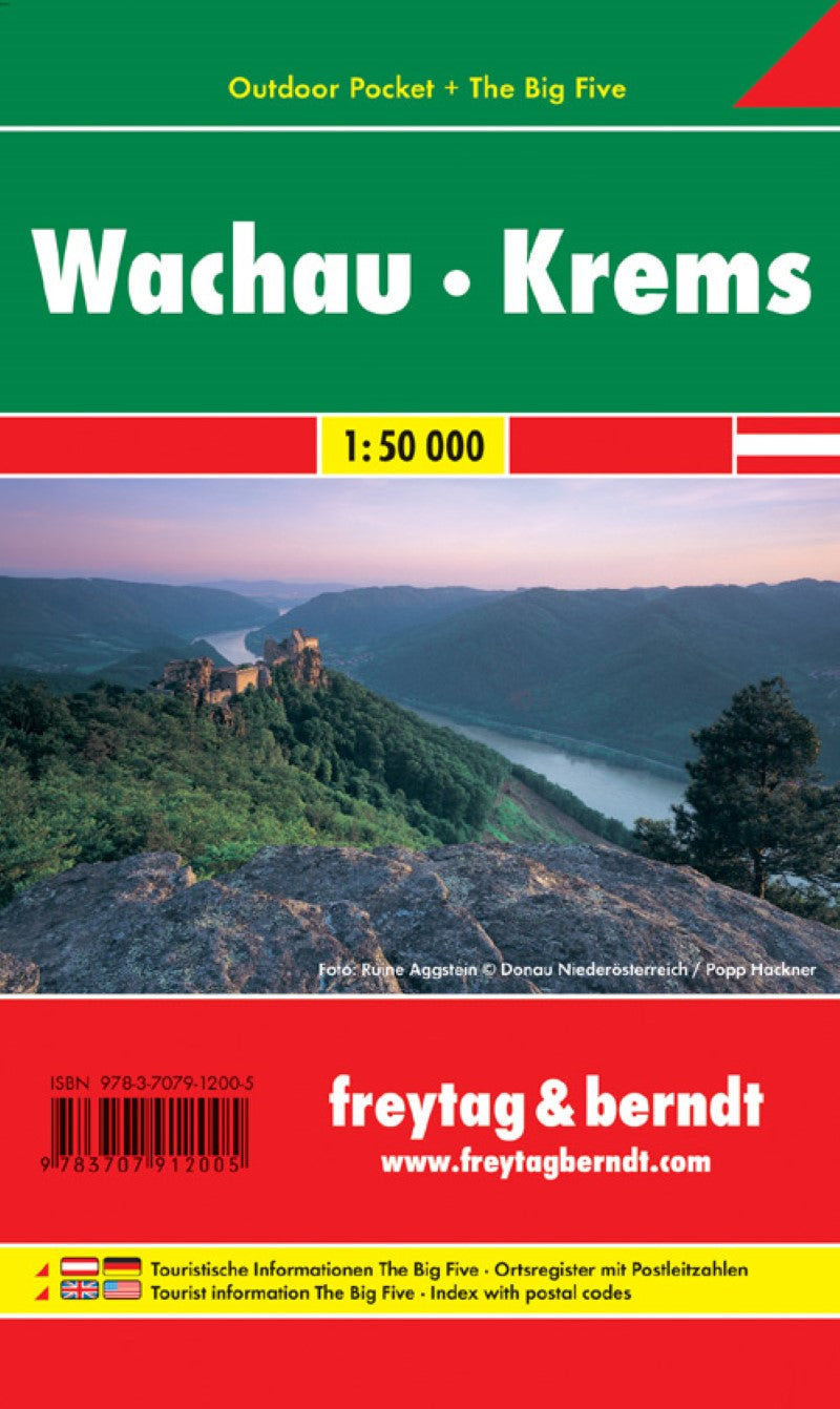
WK 071 OUP Wachau - Krems, Outdoor Pocket, hiking map 1:40,000
WK 071 OUP Wachau - Krems, Outdoor Pocket, hiking map 1:40,000
Regular price
$11.95 USD
Regular price
Sale price
$11.95 USD
Unit price
/
per
Shipping calculated at checkout.
Low stock
Couldn't load pickup availability
- SKU: FB_WK_71_OUP_12
- Freytag & Berndt hiking maps are ideal companions in hiking, mountaineering and on ski tours thanks to the detailed digital cartography and the exact standards. They are regularly revised and contain updated information on hiking trails, bike and mountain bike routes, huts, natural monuments, cultural sights and leisure facilities. The titles of the "Outdoor Pocket" series fit into each pocket due to the handy format of 9 x 15 cm. They are waterproof and therefore suitable for every outdoor adventure! Tourist information "The Big Five": adventure, culinary, nature, sights, hiking; Hiking and long-distance hiking trails, mountain bike and bike tours, local register with postcodes, riding paths, referee, height profiles; Region: Wachau, Krems, Lower Austria; Special hiking themes: North-South/Nordwaldkammweg, Mariazellerweg, Ostsee-Wachau-Adria (Europe. Fern hiking trail No. 6), Dunkelsteinerwald Rundwanderweg, Yspertal hiking trails, Jakobsweg, Wachau, Jauerling Runde, Sankt Michaeler Höhenweg, Wachauer Höhenweg; Special bike tours: Donauradweg, Spitzertal cycle path, Fladnitztal cycle path, bike path vinum around montem;
- Type: Folded Map
- Subtype: Hiking
- Language: English, German
- Publication Date: 2016-05-15
- Scale: 1:40000
- Regions Covered: Central Europe, Europe
- Countries Covered: Austria
- ISBN: 9783707912005
- MPN: WK 071 OUP
- Folded Size: 3.54" (W) x 5.9" (H)
- Unfolded Size: 3.54" (W) x 5.9" (H)
- Weight: 1.76 oz


