Map Adventures
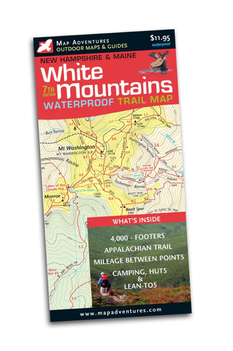
White Mountains Waterproof Hiking Trail Map
White Mountains Waterproof Hiking Trail Map
Regular price
$11.95 USD
Regular price
Sale price
$11.95 USD
Unit price
per
Shipping calculated at checkout.
Couldn't load pickup availability
- SKU: MADV_WHITE_MTN_WP_25
The best keeps getting better – check out what’s new in the 7th edition.
Our most popular map is your favorite too. By popular demand this seventh edition expands the coverage to include all of the 4,000 footers of New Hampshire and Maine, along up-to-date trails and roads. It’s printed on durable waterproof paper—an exceptional value.
"The idea of putting the length of trails right on the map is wonderful! I plan hikes simply by looking at the map and being able to determine the length of hikes without having to get out the guide book...thanks so much for the superb effort."
- Gary Tardiff, customer"The map is first class..." - Conway Daily Sun
Map Features
- White Mountains National Forest
- The Four Thousand Footers
- Appalachian Trail
- Mileage between points
- Camping, huts, and lean-to's
- Parking
- Winter Trails
- Kezar Lake, Maine
Areas Covered
- Mount Washington
- Pinkham Notch
- Carter-Moriah Range
- Franconia Notch
- Twin Range
- Zealand Valley
- Crawford Notch
- Pilot & Pliny Ranges
- Kancamagus Highway
- Type: Folded Map
- Subtype: Hiking
- Language: English
- Publication Date: 2025-01-01
- Scale: 1:50,000
- Regions Covered: Mid-Atlantic/Northeastern U.S., North America
- Countries Covered: United States
- States Covered: Maine, New Hampshire
- ISBN: 9781890060619
- Folded Size: 4" (W) x 8" (H)
- Unfolded Size: 24" (W) x 18" (H)
- Weight: 3 oz