1
/
of
1
International Travel Maps
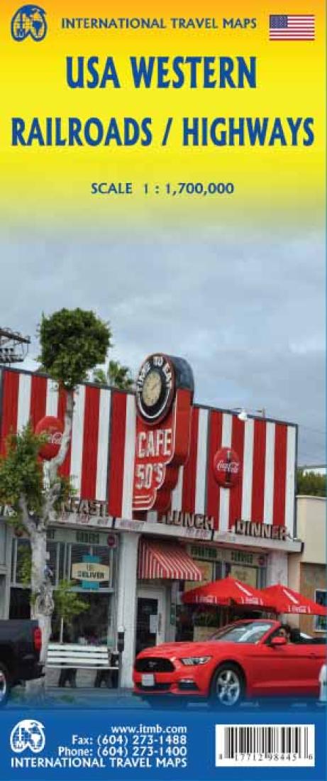
Western USA (Railroads & Highways) Travel Map
Western USA (Railroads & Highways) Travel Map
Regular price
$8.95 USD
Regular price
Sale price
$8.95 USD
Unit price
/
per
Shipping calculated at checkout.
Low stock
Couldn't load pickup availability
- SKU: ITM_US_W_RR_HW_16
- Travel in the USA is changing. The younger generation is increasingly travelling by train and bus to get from place to place, as airfares rise, and the cost of a car becomes more expensive. This map thematically attempts to concentrate on travel by rail around at least a large portion of America. The motorways, highways, and touristic attractions are still shown, but the passenger service rail lines a shown prominently. This is a double-sided north-south map, with side one showing from Vancouver south to Red Bluff in California and east to Casper, Wyoming. The other side covers from north of Sacramento, California to the Mexican border and from the Pacific shore east to Denver or El Paso. This covers a goodly portion of the USA at a better scale than our previous edition, with the same attention to touristic detail as one the earlier map.
- Type: Folded Map
- Subtype: Travel
- Language: English
- Publication Date: 2016-06-01
- Scale: 1:1,700,000
- Regions Covered: Central U.S., North America, North-central U.S./Great Plains, Northwestern U.S., Southern U.S., Southwestern U.S., Western U.S.
- Countries Covered: Canada, Mexico, United States
- States Covered: Arizona, Baja California, Baja California Sur, British Columbia, California, Chihuahua, Colorado, Idaho, Montana, Nevada, New Mexico, Oregon, Sonora, Texas, Utah, Washington, Wyoming
- ISBN: 9781771298445
- Folded Size: 4" (W) x 9.5" (H)
- Unfolded Size: 39" (W) x 27" (H)
- Weight: 1.9 oz


