1
/
of
1
GM Johnson
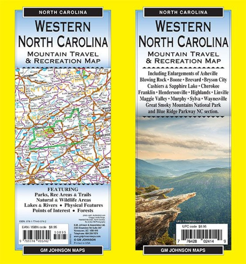
Western North Carolina, North Carolina Recreation Map
Western North Carolina, North Carolina Recreation Map
Regular price
$8.95 USD
Regular price
Sale price
$8.95 USD
Unit price
/
per
Shipping calculated at checkout.
Couldn't load pickup availability
- SKU: GMJ_NC_W_24
Map Coverage Area
Including Enlargements of:Asheville, Blowing Rock, Boone, Brevard, Bryson City, Cashiers & Sapphire Lake, Cherokee, Franklin, Hendersonville, Highlands, Linville, Maggie Valley, Murphy, Sylva, Waynesville, Great Smoky Mountains National Park and Blue Ridge Parkway NC section.
FEATURING:
Parks, Rec Areas & Trails, Natural & Wildlife Areas, Lakes & Rivers, Physical Features, Points of Interest, Forests.photo credit:
shutterstock.com
Craggy Linville Gorge, Hawksbill Mountain, North Carolina.
By Jordan Hill Photography- Type: Folded Map
- Subtype: Outdoor Recreation Maps
- Publication Date: 2024-06-01
- Scale: 1:256,000 / 1:36,000
- Regions Covered: North America, Southern U.S.
- Countries Covered: United States
- States Covered: North Carolina
- ISBN: 9781774495742
- UPC: 776428024149
- Folded Size: 4" (W) x 9" (H)
- Unfolded Size: 39" (W) x 27" (H)
- Weight: 1.5 lb


