1
/
of
1
Adventure Cycling Association
Western Express Bicycle Route #2
Western Express Bicycle Route #2
Regular price
$16.75 USD
Regular price
Sale price
$16.75 USD
Unit price
/
per
Shipping calculated at checkout.
Low stock
Couldn't load pickup availability
- SKU: ADCY_BC_2102_19
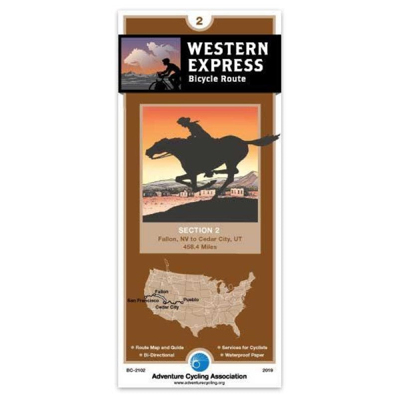
- Section 2 of the Western Express Route begins in Fallon, Nevada, and heads east along U.S. Highway 50. This road was described some years ago by a Life magazine writer as "The Loneliest Road in America." You'll see occasional vehicles on the road but towns and services are spaced, in some instances a long day's ride apart. In most cases there are no homes or ranches between services. The maps note where the longest stretches without services are located. There are two 80+ mile streches without any services. This section of the Western Express Route is considered very difficult due not only to terrain, but also due to lack of water, temperature extremes, and long mileages without services. Carrying a water purifier is strongly advised for any water access outside of towns. Nevada is extremely dry and has no shade except for three trees east of Fallon that our researchers found. This section ends in Cedar City, Utah.; ; ; ABOUT ADVENTURE CYCLING MAPS ; Adventure Cycling maps are created by cyclists, for cyclists, and they are some of the best available for those in search of discovery and adventure in North America. The maps reflect the association's research as well as suggestions from thousands of cyclists who have explored the Adventure Cycling Route Network. Adventure Cycling develops the best cross-country, loop, coastal, and inland cycling routes available, with turn-by-turn directions, detailed navigational instructions for the tricky sections, and elevation profiles in the high country. ; ; The maps are waterproof and designed to fit in a handlebar-bag window or jersey pocket. The maps provide information specifically for cyclists: the location of bike shops, sources for food and water, and listings of overnight accommodations including camping facilities, small hotels, and cyclists-only lodging.
- Type: Folded Map
- Subtype: Bicycling
- Language: English
- Publication Date: 2019-05-01
- Scale: 1:250,000
- Regions Covered: Central U.S., North America, Western U.S.
- Countries Covered: United States
- States Covered: Nevada, Utah
- ISBN: 9780935108620
- MPN: BC2102
- Folded Size: 3.75" (W) x 8.25" (H)
- Unfolded Size: 18" (W) x 24" (H)
- Weight: .05 lb


