Longitude Maps
West Coast Elevation Tints Fine Art Print Map
West Coast Elevation Tints Fine Art Print Map
Couldn't load pickup availability
- SKU: PODRP_WEST_COAS_ELEV_22X48_WA
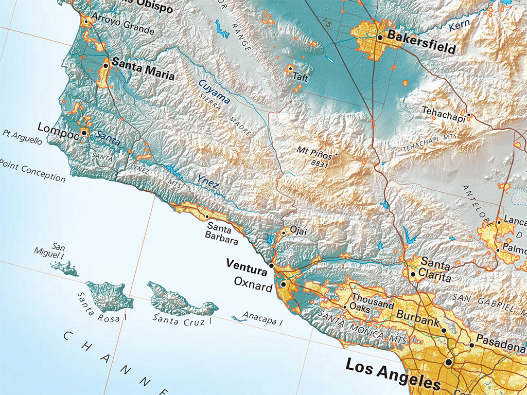
The entire Pacific Coast of North America is a system of nearly continuous mountain ranges roughly paralleling the coast. Large structural lowlands occur within the overall system - the Fraser Plateau, the Puget-Willamette Trough, California's Central Valley, and the currently active Gulf of California rift.
The range names can be confusing - the Canadian Coastal Ranges become the North Cascades at the border, which then merge with the Cascades. These continue down into California. The Olympics in Washington are distinct from the Coast Ranges of Oregon and California. The Klamath Mountains are an insert, the Sierra Nevada is a single vast tilted fault block, and the Transverse Ranges of Southern California, like the Gulf of California itself, mark the Pacific Plate's change of direction.
This map includes the three West Coast states, nearly all of Nevada, significant portions of Idaho, Arizona, and adjacent Mexican and Canadian territory. Coastal Southern California looks very different when seen as the northern end of Baja California.
Dimensions: All map dimensions are approximate.- Type: Flat Map
- Subtype: Wall Art
- Regions Covered: North America, Pacific U.S., Western U.S.
- Countries Covered: United States
- States Covered: California, Oregon, Washington
- UPC: 767020016052
- MPN: westcoast-elevation-tints-map
- Folded Size: N/A
- Unfolded Size: 22" (W) x 48" (H)
- Finish: Regular Paper