1
/
of
1
National Geographic Maps
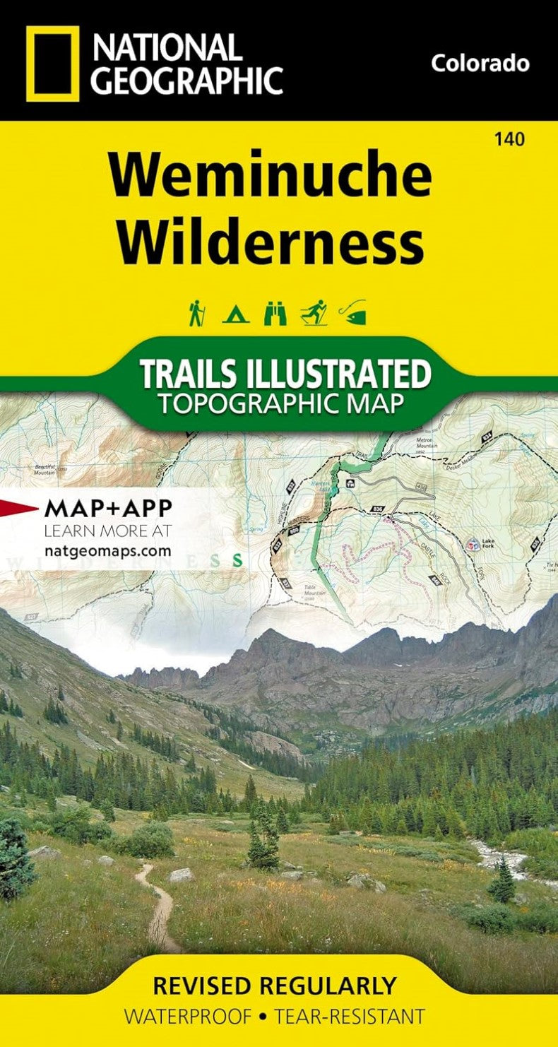
Weminuche Wilderness : Colorado, USA
Weminuche Wilderness : Colorado, USA
Regular price
$14.95 USD
Regular price
Sale price
$14.95 USD
Unit price
/
per
Shipping calculated at checkout.
Low stock
Couldn't load pickup availability
- SKU: TI_WEMIN_WILD_23
- Waterproof, tear-resistant, topographic map of Weminuche Wilderness, CO. Coverage includes San Juan and Rio Grande national forests; Weminuche Wilderness; Williams Creek; Big Meadows and Rio Grand reservoirs; Chicago Basin, Emerald, and Electra lakes; Wagon Wheel Gap, Wolf Creek, and Rockwood. 14ers: Sunlight Peak, Windom Peak, Mt Eolus; Piedra, Squaw and Molas passes; San Juan Mountains; San Juan, Rio Grande and Los Pinos rivers. Ski Area: Wolf Creek. Includes portions of the Continental Divide Trail and the Colorado Trail. Includes UTM grids for use with your GPS unit.
- Type: Folded Map
- Subtype: Park
- Language: English
- Publication Date: 2023-06-01
- Scale: 1:63,360
- Regions Covered: Central U.S., North America
- Countries Covered: United States
- States Covered: Colorado
- ISBN: 9781566952910
- UPC: 749717009660
- MPN: TI00000140
- Folded Size: 3.94" (W) x 7.48" (H)
- Unfolded Size: 24.8" (W) x 37.01" (H)
- Weight: 3.1 oz


