1
/
of
1
International Travel Maps
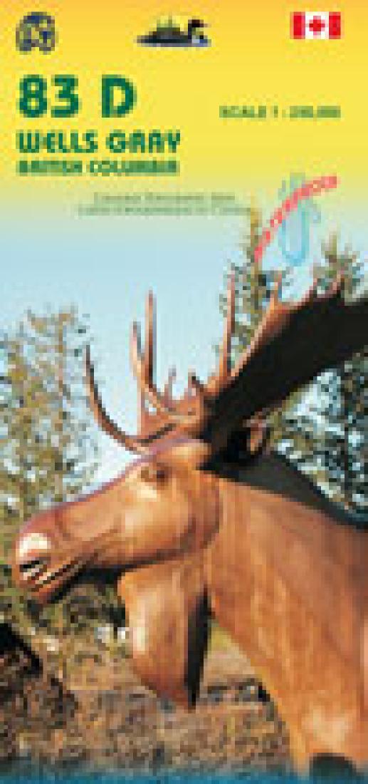
Wells Gray Region/Myrtle Lake
Wells Gray Region/Myrtle Lake
Regular price
$14.95 USD
Regular price
Sale price
$14.95 USD
Unit price
/
per
Shipping calculated at checkout.
Couldn't load pickup availability
- SKU: ITM_83_D/D4_8
- This map includes topographical maps of Wells Gray Provincial Park 083D (1 : 250,000) and a more detailed map of Murtle Lake 083D04 (1 : 50,000) on the other side. Both show mountain ranges, lakes, points of interests, recreational areas, campsites, viewpoints, gas stations, restaurants, and so on.
- Type: Folded Map
- Subtype: Travel
- Language: English
- Publication Date: 2008-06-01
- Scale: 1:250,000
- Regions Covered: North America
- Countries Covered: Canada
- States Covered: British Columbia
- ISBN: 9781553418856
- Folded Size: 4" (W) x 9.5" (H)
- Unfolded Size: 39" (W) x 27" (H)
- Weight: 3.1 oz


