
Benchmark Maps
Washington Road and Recreation Atlas - 11th Edition
Washington Road and Recreation Atlas - 11th Edition
Couldn't load pickup availability
- SKU: BEN_WA_AT_27
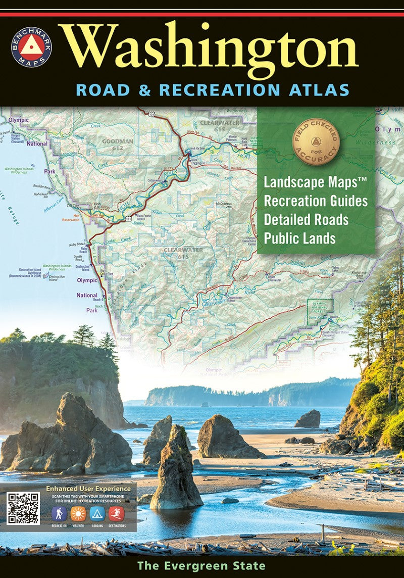
The Evergreen State offers a magnificent array of landscapes spanning from the rocky shores of the Olympic Peninsula to the rolling hills of the Palouse, with the rugged and glaciated peaks of the Cascades in between. Benchmark’s Washington Road & Recreation Atlas is the one guide needed to explore every corner of this grand state. Field-checked Landscape Maps™ show complete road detail, classed by use and surface, and the updated Recreation Guide pairs regional maps alongside categorized listings of national and state parks, historic sites and museums, camping, RV parks, fishing, boating, hunting, and more.
11th Edition, 2027. 128 pages. Dimensions: 16″ x 11″. ISBN 9798996076734
Map Scales:
- Recreation Maps 1: 600,000 1″ =9.5 miles
- Landscape Maps 1:200,000 1″ =3.2 miles
- Metro Maps 1:133,000 1″ =2.1 miles
New features include:
- Updated data for roads throughout the state
- Updated hunting unit boundaries
- Labels for county high points
- Updated city limits
- Edits from newly-compiled data and recent field-checking trips
- Type: Paperback Atlas
- Subtype: Popular/Travel
- Language: English
- Publication Date: 2026-11-16
- Scale: Scales differ
- Regions Covered: North America, Northwestern U.S.
- Countries Covered: United States
- States Covered: Washington
- ISBN: 9798996076734
- UPC: 767020017424
- Folded Size: N/A
- Unfolded Size: 11" (W) x 16" (H)
- Weight: 20 oz