1
/
of
1
Northwest Distributors
Washington : ghost towns/sites : then and now
Washington : ghost towns/sites : then and now
Regular price
$16.95 USD
Regular price
Sale price
$16.95 USD
Unit price
/
per
Shipping calculated at checkout.
Couldn't load pickup availability
- SKU: NWD_WA_GHOST_1
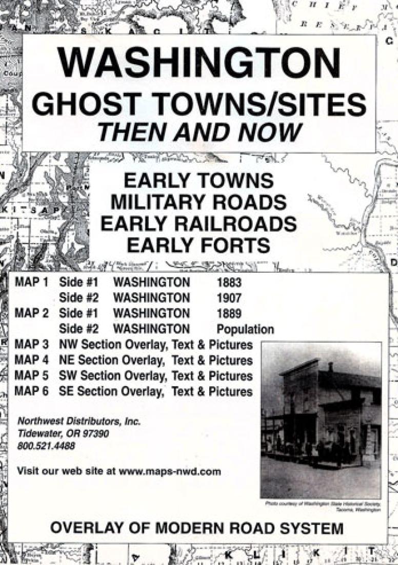
- Fascinating series of 6 maps showing historic ghost towns around the state of Washington. Map 1 shows Washington in 1882, and in 1907. Map 2 shows Washington in 1889, and Washington town populations in 1889, 1950, and 1990. Maps 3, 4, 5, and 6 show Washington's northwest, northeast, southwest, and southest respectively, in the year 1889 with a red overlap on each showing Washington today.
- Type: Folded Map
- Subtype: Historical
- Language: English
- Publication Date: 2001-06-01
- Scale: Scales differ
- Regions Covered: North America, Northwestern U.S.
- Countries Covered: United States
- States Covered: Washington
- ISBN: 9780965755863
- Folded Size: 6.3" (W) x 9.45" (H)
- Unfolded Size: 16.93" (W) x 22.05" (H)
- Weight: 3.5 oz


