1
/
of
1
USSR Ministry of Defense
Washington DC 1 (USA) - Soviet Military City Plans
Washington DC 1 (USA) - Soviet Military City Plans
Regular price
$49.95 USD
Regular price
Sale price
$49.95 USD
Unit price
/
per
Shipping calculated at checkout.
Share
Couldn't load pickup availability
- SKU: SUAA-WASHINGTONDC1-P
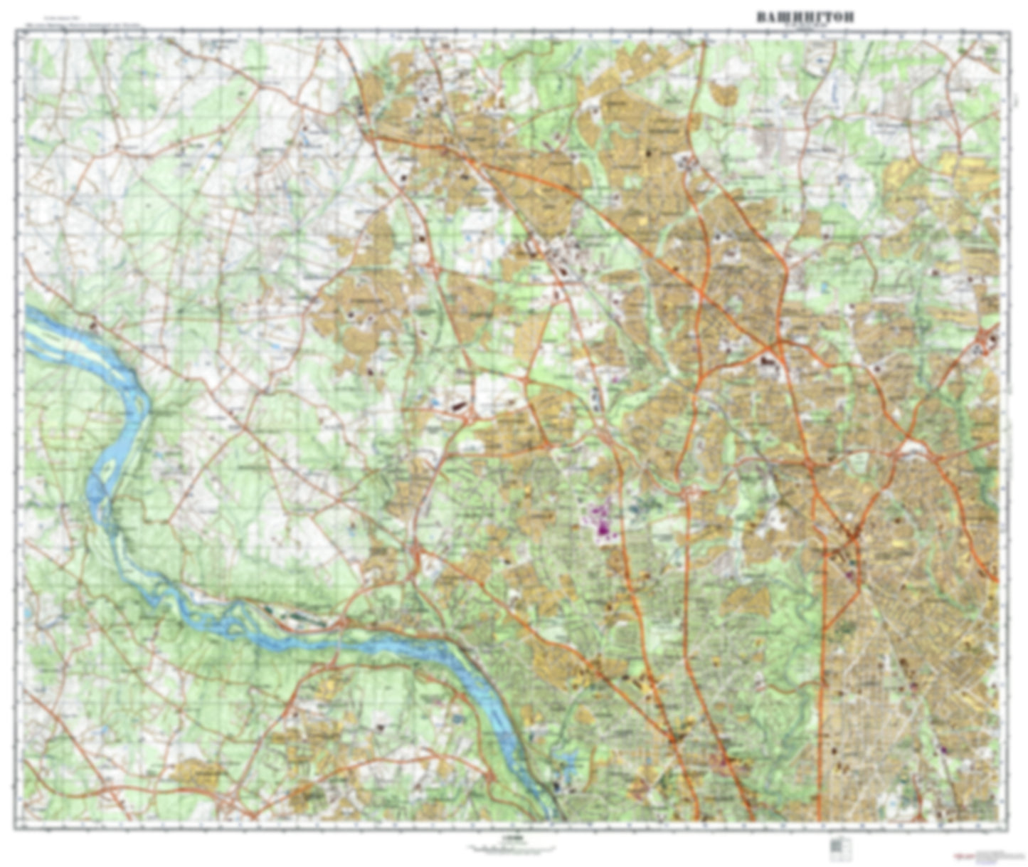
- During the Cold War and before easy access to high-resolution satellite imagery, The Soviet Military was secretly mapping the entire world. These aesthetically striking maps are beautiful down to the last detail and fantastic wall art and until now, have rarely been viewed or available to outsiders. This series has been covered by Wired Magazine and Greg Miller in his book, "All Over the Map: A Cartographic Odyssey". This map is part of the Soviet City Plans Series presented by East View, which has the largest collection of Soviet Military City Plans in the world. The Soviet Military City Plan(s) of Washington DC 1 (USA) is one in a series of highly detailed topographic city maps developed by the USSR Ministry of Defense during the Cold War era. These collectable, high resolution print-on-demand editions are delivered on premium, acid-free, matte paper. This item is sheet number 1 in a set of 4 sheet(s) for Washington DC Populated Places: City of Rockville, City of Takoma Park, District 10, District 13, District 4, District 7, Dranesville District, Friendship Tract (historical), Gizor Tract (historical), Mill Seat (historical), Northwest Quadrant, Norway Tract (historical), Re-Survey on New Seat (historical), Saint Philip and Jacob Tract, Terra Firma Tract (historical), The Gift (historical), Town of Chevy Chase, Town of Chevy Chase View, Town of Chevy Chase Village, Town of Garrett Park, Town of Glen Echo, Town of Kensington, Town of Somerset, Washington County (historical) Military and Defense: David Taylor Model Basin, Naval Medical Center Bethesda, Naval Surface Warfare Center Carderock, Walter Reed Army Medical Center Landmarks and Natural Features: Bealls Island, Bear Island, Big Sluice Island, Cabin John Island, Cedar Island, Chatauqua Island, Conn Island, Dots Island, Gladys Island, Hermit Island, Herzog Island, High Island, Hunting Hill, Langley Island, Linnean Hill, Little Sluice Island, Lock Island, Minnehaha Island, Minnie Island, Mount Saint Alban, Offutt Island, Olmsted Island, Perry Island, Plummers Island, Point Reno Water Bodies: Burnt Mills Reservoir, Dalecarlia Reservoir, Great Falls Estate Lake, Lake Bernard Frank, Lake Eisen, Lake Needwood, Little Falls Reservoir, Pine Lake, Pine Lake, Reno Reservoir, Stone Lake, Widewater, Woodside Lake
- Type: Map
- Subtype: City Plan
- Language: Russian
- Publication Date: 1975-06-01
- Scale: 1:25,000
- Regions Covered: Mid-Atlantic/Northeastern U.S., North America
- Countries Covered: United States
- States Covered: District of Columbia
- MPN: WASHINGTON DC 1
- Folded Size: N/A
- Unfolded Size: 41.5" (W) x 35" (H)
- Weight: 4.8 oz


