Rand McNally
Washington : cities : city map book
Washington : cities : city map book
Regular price
$7.99 USD
Regular price
Sale price
$7.99 USD
Unit price
per
Shipping calculated at checkout.
Low stock
Couldn't load pickup availability
- SKU: RM_CMB_WASH_10
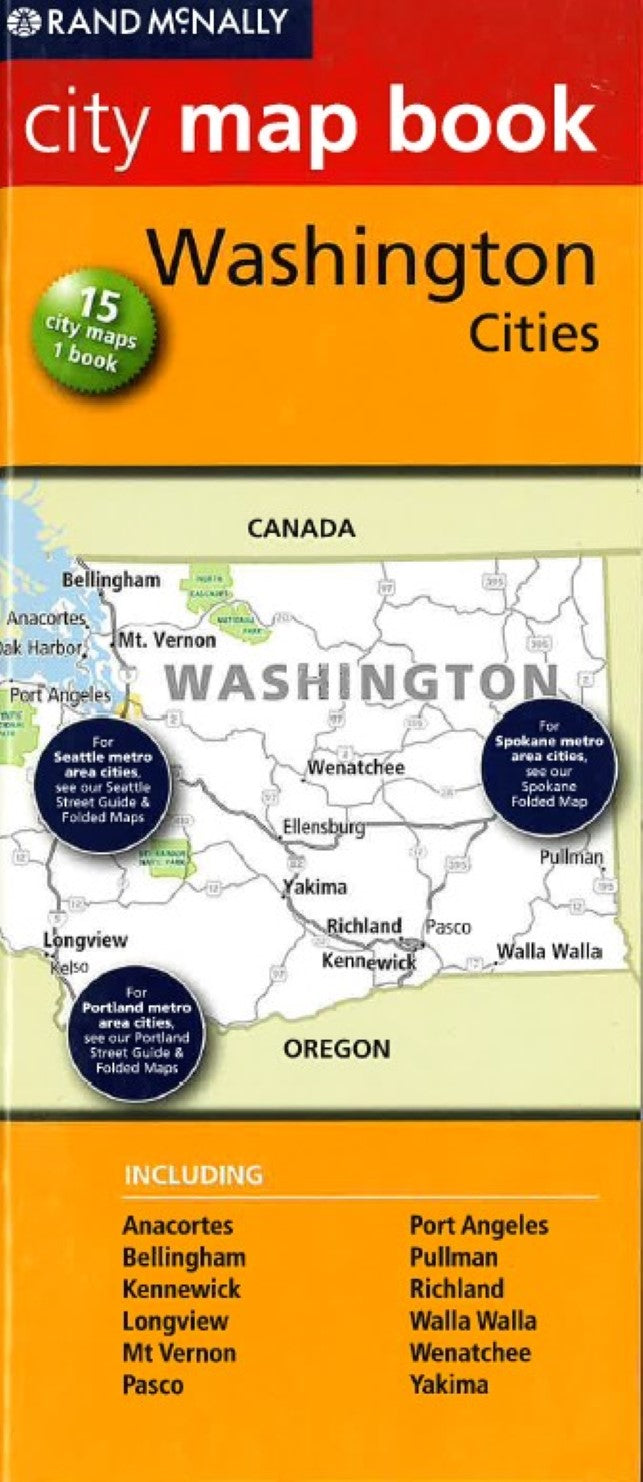
- Rand McNally's City Map Book of Washington cities is a must have atlas for anyone traveling in and around Washington, offering unbeatable accuracy and reliability at a great price. Trusted cartography shows all interstate, US, state, and county highways, along with local streets and clearly indicated points of interest, attractions, airports, county boundaries, and more. You'll see why Rand McNally maps have been the trusted cartography standard for more than 150 years. Fully indexed, with map grids Schools, courthouses, libraries, golf courses, and other points of interest clearly indicated Staple-bound with heavy cover Easy-to-flip book Cities covered: Anacortes, Bellingham, Kennewick, Longview, Mt. Vernon, Pasco, Port Angeles, Pullman, Richmond, Walla Walla, Wenatchee, Yakima
- Type: Paperback Atlas
- Subtype: Popular/Travel
- Language: English
- Publication Date: 2010-06-01
- Scale: 1:34,000
- Regions Covered: North America, Northwestern U.S.
- Countries Covered: United States
- States Covered: Washington
- ISBN: 9780528882463
- Folded Size: N/A
- Unfolded Size: 3.94" (W) x 9.45" (H)
- Weight: 2.7 oz