Institut Geographique National
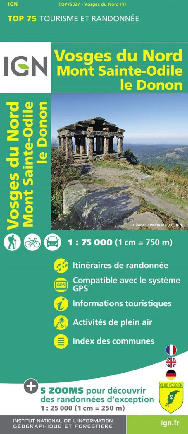
Vosges du Nord : Mont Sainte-Odile le Donon, France 1:75,000
Vosges du Nord : Mont Sainte-Odile le Donon, France 1:75,000
Regular price
$15.99 USD
Regular price
Sale price
$15.99 USD
Unit price
per
Shipping calculated at checkout.
Couldn't load pickup availability
- SKU: IGN75_27_
- The northern part of the Vosges Mountains in a series of GPS compatible, contoured TOP 75 maps at 1:75,000 from the IGN, highlighting local and long-distance hiking paths, cycling routes and sites for other recreational activities. The map includes five large panels showing the areas around Lac de Pierre Percée, Grand Winterberg, le Donon, Schneeberg, and Mont Sainte-Odile on IGN’s topographic mapping at 1:25,000 with extensive overprint for local hiking paths and tourist facilities including campsites. Cartography of the main map at 1:75,000 is a direct enlargement of the mapping used in the IGN’s TOP100 series. Contours are at 40m intervals, enhanced by relief shading; additional colouring shows different types of vegetation (woods, brushwood, vineyards/orchards). Boundaries of national parks and other protected areas are marked. An overprint highlights long-distance GR hiking routes and cycling trails. Symbols - more numerous than on the TOP100 maps - indicate various places of interest including mountain refuges and gîtes d’etape (campsites on the enlargements), areas for other recreational pursuits such as climbing, hand gliding or water and winter sports, historic or cultural sites, etc. The map has a UTM grid and an index of communes. Map legend includes English.
- Type: Folded Map
- Subtype: Hiking
- Language: French
- Scale: 1:75,000
- Regions Covered: Europe, Western Europe
- Countries Covered: France
- ISBN: 9782758529040
- MPN: 27
- Folded Size: 5.12" (W) x 9.84" (H)
- Unfolded Size: 39.37" (W) x 51.97" (H)
- Weight: 3.5 oz