1
/
of
1
Berndtson & Berndtson
Virgin Islands : US and British
Virgin Islands : US and British
Regular price
$10.95 USD
Regular price
Sale price
$10.95 USD
Unit price
/
per
Shipping calculated at checkout.
Low stock
Couldn't load pickup availability
- SKU: BRN_VIRGIN_12
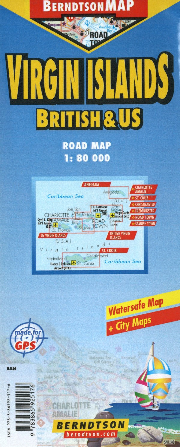
- Tourist map of British Virgin Islands with legend, road and places of interest index. Insets of British Virgin Islands, Road town, Anegala, Spanish Town and time zones. Charts showing basic information, geography, weather and climate information. On reverse index continued. Insets of United States, Charlotte Amalie, Frederksted, St. Croix, Christiansted and Cruz Bay.
- Type: Folded Map
- Subtype: Travel
- Language: English
- Publication Date: 2012-06-01
- Scale: 1:80,000
- Regions Covered: Caribbean Sea, North America
- Countries Covered: Virgin Islands, British, Virgin Islands, United States
- ISBN: 9783865925176
- Folded Size: 9.45" (W) x 3.94" (H)
- Unfolded Size: N/A
- Weight: 4 oz


