1
/
of
1
International Travel Maps
Virgin Islands Travel Map
Virgin Islands Travel Map
Regular price
$12.95 USD
Regular price
Sale price
$12.95 USD
Unit price
/
per
Shipping calculated at checkout.
Low stock
Couldn't load pickup availability
- SKU: ITM_VIRGIN_11
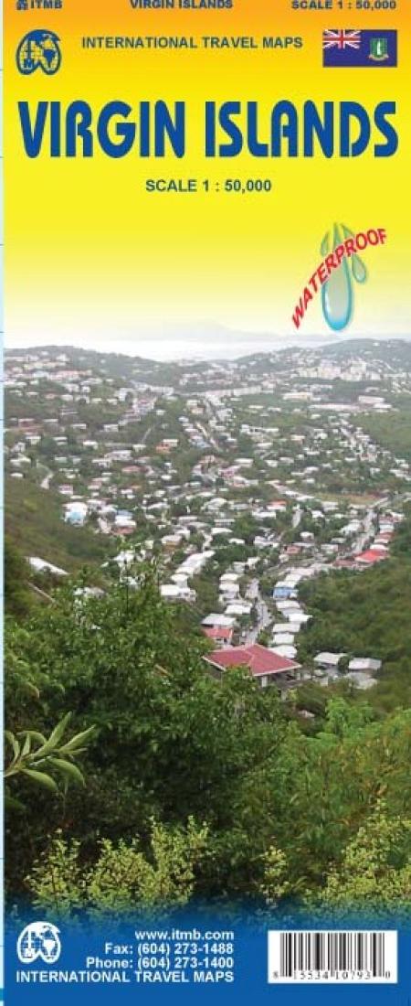
- This map is printed on double-sided ITM plastic paper for both durability and waterproofing and covers both the British and the American land masses that comprise the Virgins. Named after Queen Elizabeth the First, the network of islands has a colorful history which ITMB has enhanced in a series of topical capsule comments. The more populated island of St. Croix includes an elaborate myriad of roads and inset maps of Christiansted and Frederiksted. The St. Thomas island portion includes detailed insets of Charlotte Amalie and Cruz Bay on St. Johns. The other side of the sheet covers the BVI region. This map includes an inset of the town showing all the major buildings. The map also includes an inset of The Valley, the only town on Virgin Gorda.
- Type: Folded Map
- Subtype: Travel
- Language: English
- Publication Date: 2011-06-01
- Scale: 1:50,000
- Regions Covered: Caribbean Sea, North America
- Countries Covered: Virgin Islands, British, Virgin Islands, United States
- ISBN: 9781553410799
- Folded Size: 4" (W) x 9.5" (H)
- Unfolded Size: 39" (W) x 27" (H)
- Weight: 2 oz


