Editorial Compass Chile Spa
Villarrica, Llanquihue y Chiloé (Regíon de la Araucanía, Regíon de los Ríos y Regíon de los Lagos) - Chile Tourist Road Map #6
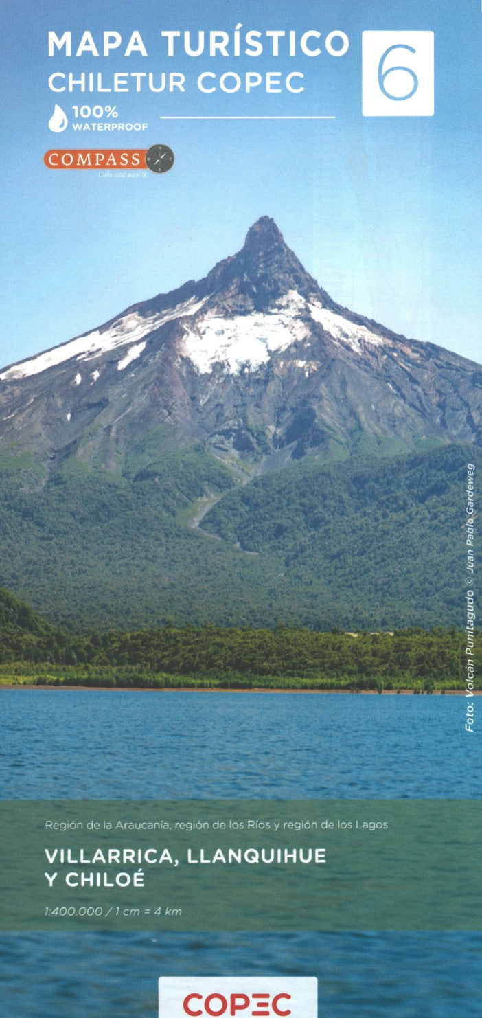
Villarrica, Llanquihue y Chiloé (Regíon de la Araucanía, Regíon de los Ríos y Regíon de los Lagos) - Chile Tourist Road Map #6
Couldn't load pickup availability
- SKU: COP_6_VILL_25
This map is #6 of part of a 9-sheet series of indexed and GPS-compatible regional maps from Compass Editorial, covers the Villarrica, Llanquihue, and Chiloé regions of Chile at a 1:400,000 scale. Printed on lightweight, waterproof, and tear-resistant synthetic paper, it provides an excellent representation of the topography using satellite imagery with shading and altitude coloring. The map highlights popular areas such as the Pucón sector with its parks, hot springs, and tourist attractions, including Villarrica National Park, Mocho Choshuenco National Reserve, Huilo Huilo Reserve, Puyehue National Park, and Vicente Pérez Rosales National Park, as well as Chiloé Island with its UNESCO World Heritage Churches.
Coverage extends from just above 39°15’ (Villarrica - Pucón) to just beyond 43°45’ south, including one of Chile’s most popular hiking areas south of Villarrica and Pucón, Puerto Montt, and the Carretera Austral. The northern half also covers the Argentinian Andes, including areas around San Martín de los Andes and San Carlos de Bariloche, while the southern portion details shipping routes through the Chilean fjords and the locations of lighthouses.
The map features a detailed road network with dirt roads, 4WD tracks, and paved roads, as well as locations for border crossings, petrol stations, toll booths, and police units. Driving distances are marked along major and secondary routes, and it includes railway lines and local airports. Various symbols indicate places of interest such as cultural and historical sites, beaches, hot springs, trekking and skiing areas, and more. Each side of the double-sided map has its own index and a distance table, along with a latitude and longitude grid at 15' intervals.
This map is an essential tool for travelers exploring the scenic landscapes and rich cultural heritage of southern Chile and its neighboring areas in Argentina.
- Type: Folded Map
- Subtype: Outdoor Recreation Maps
- Language: English, Spanish
- Publication Date: 2025-02-01
- Scale: 1:400,000
- Regions Covered: South America
- Countries Covered: Chile
- ISBN: 9789569248757
- MPN: 6
- Folded Size: 3.94" (W) x 9.45" (H)
- Unfolded Size: 27.17" (W) x 38.58" (H)
- Weight: 4.2 oz