1
/
of
1
Kompass
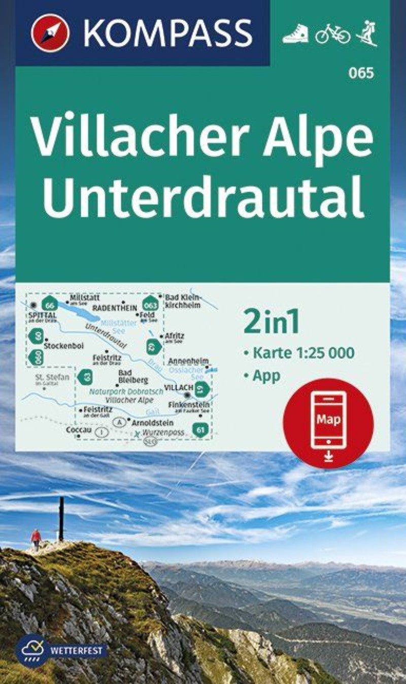
Villacher Alpe Unterdrautal Hiking Map
Villacher Alpe Unterdrautal Hiking Map
Regular price
$14.95 USD
Regular price
Sale price
$14.95 USD
Unit price
/
per
Shipping calculated at checkout.
Couldn't load pickup availability
- SKU: KOM_65_VAU_19
- This Kompass hiking map is a topographic map with trails and other hiking information added. The map is printed in color on both sides on waterproof paper. This title also includes a guide to the area written in German.
- Type: Folded Map
- Subtype: Hiking
- Language: English, German, Italian
- Publication Date: 2023-07-01
- Scale: 1:50,000
- Regions Covered: Central Europe, Europe
- Countries Covered: Germany
- ISBN: 9783990446485
- MPN: 64
- Folded Size: 5" (W) x 7.5" (H)
- Unfolded Size: 43" (W) x 29" (H)
- Weight: 5.8 oz


