1
/
of
1
Freytag & Berndt
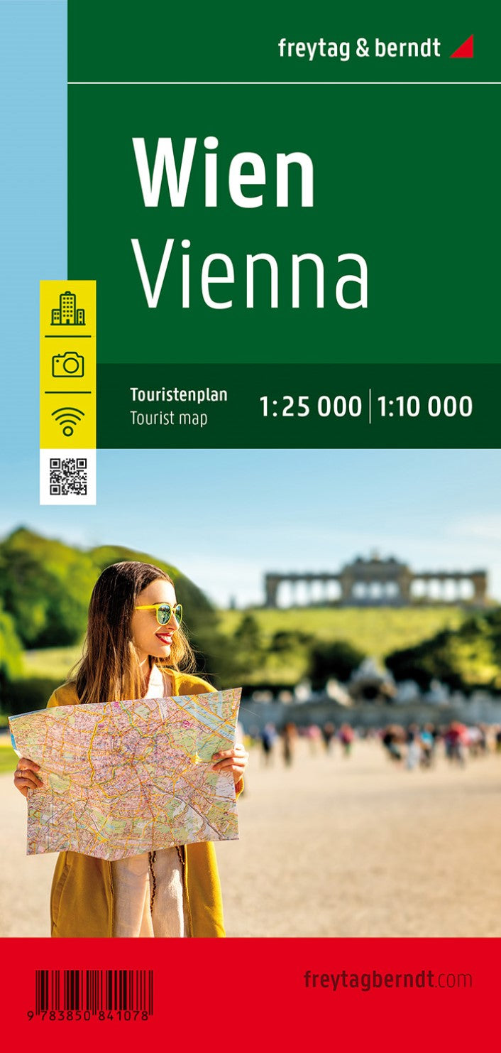
Vienna, city map 1:25,000 / 1:10,000, tourist map
Vienna, city map 1:25,000 / 1:10,000, tourist map
Regular price
$9.95 USD
Regular price
Sale price
$9.95 USD
Unit price
/
per
Shipping calculated at checkout.
Low stock
Couldn't load pickup availability
- SKU: FB_VIENNA_PKT_20
- Tourist street map at 1:25,000 of the central region of the city, from Donaufeld in the north-east to Oberlaa district in the south and Penzing in the west. Detail includes public buildings and locations of interest, tram & bus routes, railways & metro lines, pedestrian zones, information centres, post offices, hospitals, parks. Map legend includes English. On the reverse is a small road map of the city and its environs and a plan at 1:10,000 of the city centre. Street index included. Locations of interest are marked on the maps and given brief descriptions.
- Type: Folded Map
- Subtype: City Maps
- Language: Czech, Dutch, English, French, German, Hungarian, Italian, Japanese, Polish, Russian, Slovak, Spanish
- Publication Date: 2020-07-27
- Scale: 1:10,000
- Regions Covered: Central Europe, Europe
- Countries Covered: Austria
- ISBN: 9783850841078
- MPN: PL 27
- Folded Size: 3.93" (W) x 8.25" (H)
- Unfolded Size: 31.5" (W) x 24.75" (H)
- Weight: 1.76 oz


