Backroads Mapbooks
Vancouver, Coast & Mountains BC Backroad Mapbook
Vancouver, Coast & Mountains BC Backroad Mapbook
Couldn't load pickup availability
- SKU: BRM_VAN_COAST_AT_25
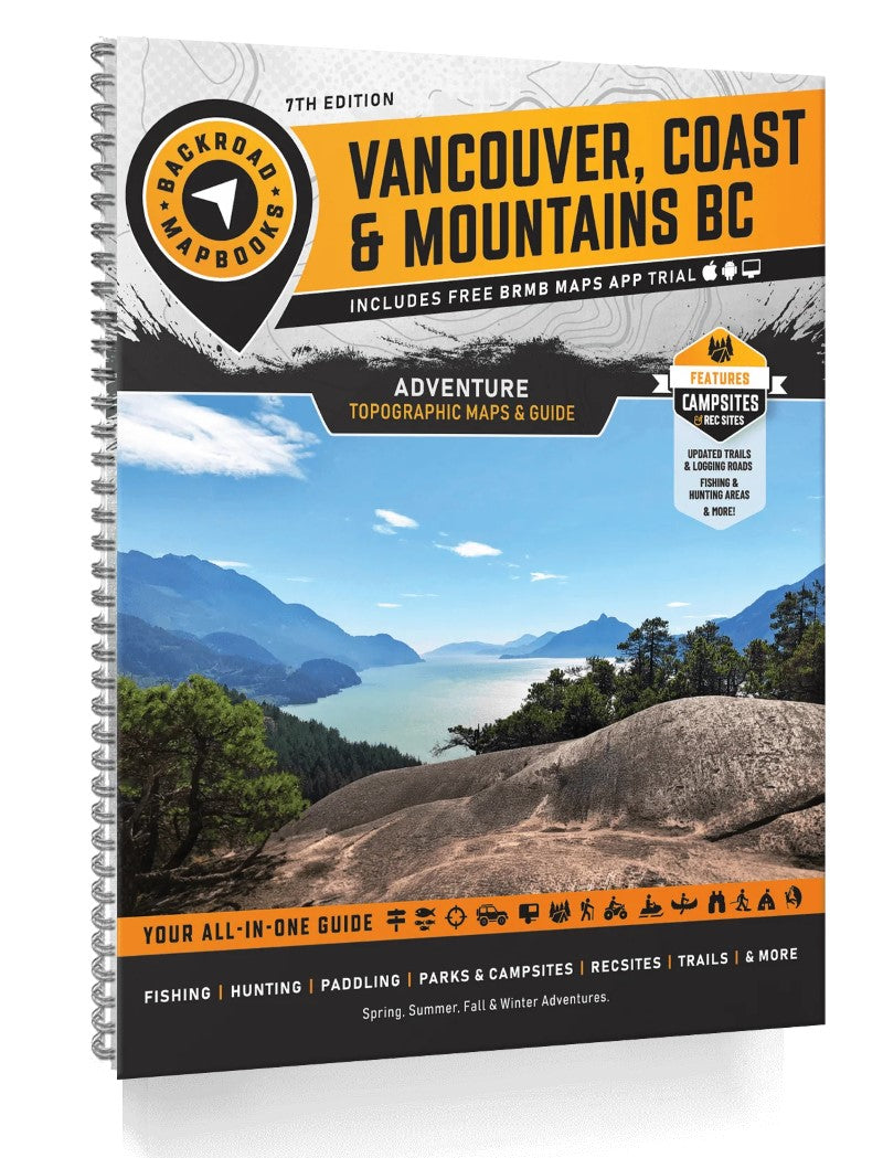
Covering the southwestern portion of British Columbia, including the Greater Vancouver area and the cities of Squamish, Whistler, Lillooet, Hope and Chilliwack, this Mapbook is your ultimate guide to camping, hiking, fishing, ATVing, hunting, snowmobiling, paddling and wildlife viewing in this incredible part of the province. From the laid-back communities of the Sunshine Coast to the lush rainforest of EC Manning Provincial Park, the alpine peaks and glacier-fed lakes of Garibaldi Provincial Park, the winding logging roads around Harrison Lake and beyond, the Vancouver, Coast & Mountains region is full of outdoor adventure opportunities.
The 6th Edition Vancouver Coast & Mountains Backroad Mapbook features several additions and expansions from our last edition. You will find an updated and expanded Community Profiles section, several additions to the Adventure listings, updated fish stocking and hiking trail charts, new multi-day overland driving routes for off-road enthusiasts and a new Rock Climbing Adventure section. Our maps now feature private and leased land, labelled sportfish species for lakes and rivers, plus countless new recreation POI's, roads, trails and paddling routes.
The printed version of the mapbook comes in the convenient 21.5 x 28 cm (8.5 x 11 in) mapbook format with a heavy-duty spiral-bound cover. The 232 page book includes 54 maps at 1:150,000 scale, along with a dozen Outdoor Adventure sections, a Service Provider Directory, Map and Adventure Index, Trip Planning tools and more. With over 55,000 kilometres of roads to view including the most complete logging and industrial road coverage available, these books are ideal for navigating on road trips and planning from home.
Print Features
Map Key & Legend
Topographic Maps
54 @ 1:150,000 Scale Maps
All-Inclusive Adventure Section
Backroad Attractions
Fishing Locations
Hunting Areas
Paddling Routes
Parks & Campsites
Trail Systems
ATV Routes
Snowmobile Areas
Wildlife Viewing
Winter Recreation
Backcountry Huts & Cabins
Community Profiles
3 Regions & 14 Communities
Service Directory
Accomodations
Sales & Services
Tours & Guides
Index
Adventure Index
Map Index
Trip Planning Tools- Type: Spiral Bound Atlas
- Subtype: Popular/Travel
- Language: English
- Publication Date: 2025-01-01
- Scale: 1:150,000
- Regions Covered: North America
- Countries Covered: Canada
- States Covered: British Columbia
- ISBN: 9781989175439
- UPC: 622098111408
- MPN: VCBC
- Folded Size: N/A
- Unfolded Size: 8.5" (W) x 11" (H)
- Weight: 2 lb