International Travel Maps
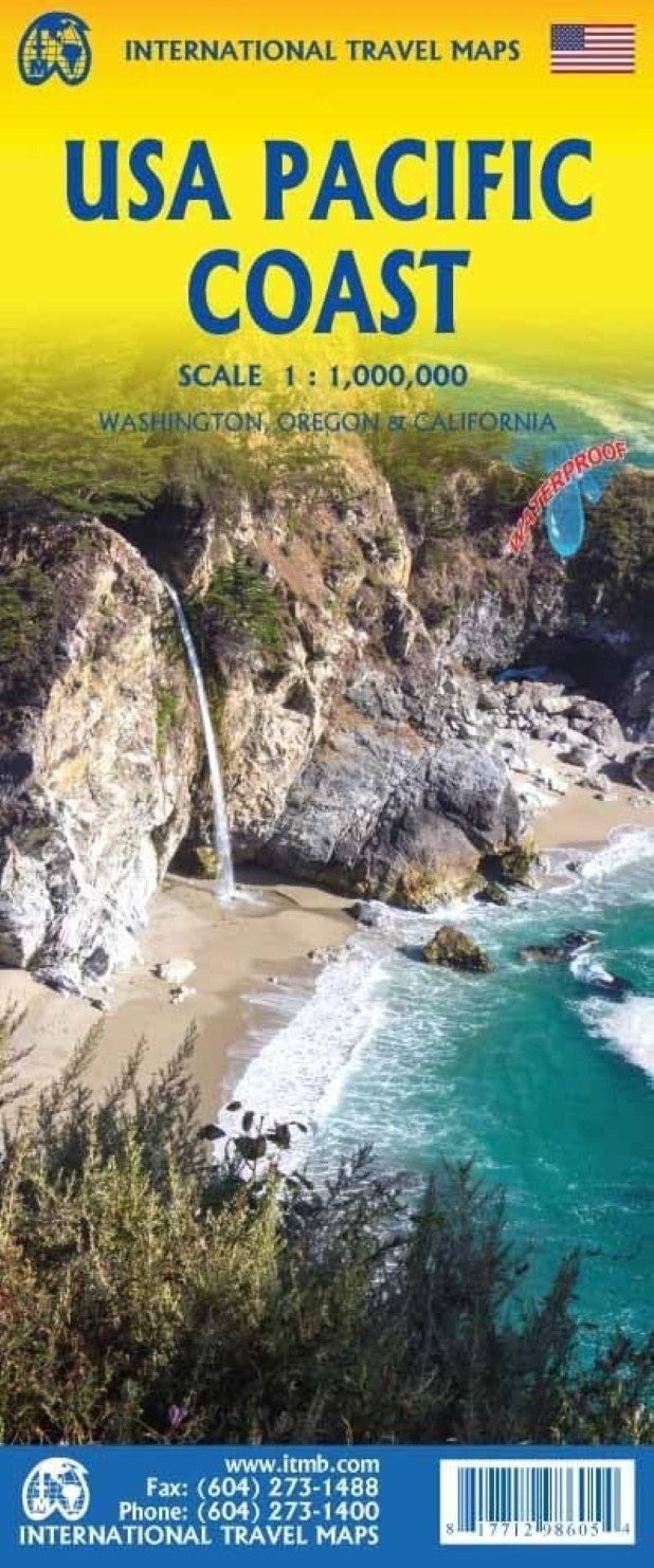
USA Pacific Coast Travel Map
USA Pacific Coast Travel Map
Couldn't load pickup availability
- SKU: ITM_USA_P_COAST_26
Road map USA Pacific Coast
One of our most popular maps is this one. It starts in Vancouver and ends in Tijuana, but its strength is its detailed coverage of the three Pacific Coast states. Side 1 concentrates on Washington and Oregon, with a bit of northern California. Coverage of California continues on Side 2 to the Mexican border. All motorways and major highways are shown, as well as the increasingly-popular rail lines going north-south as well as east-west. As much of the interior of California is arid, it is lightly populated, but home to Death Valley, the Mojave Desert, Joshua Tree NP, and Yosemite NP, as well as dozens of smaller recreational areas. This map is home to fifty million Americans and a powerful industrial/agricultural base that generates half of America’s wealth, so this map covers a very important part of America.Legend Includes:
Roads by classification, Rivers and Lakes, National Park, Airports, Points of Interests, Highways, Main Roads, Zoos, Fishing, and much more...- Type: Folded Map
- Subtype: Travel
- Language: English
- Publication Date: 2026-04-01
- Scale: 1:1,000,000
- Regions Covered: North America, Northwestern U.S., Western U.S.
- Countries Covered: United States
- States Covered: California, Oregon, Washington
- ISBN: 9781771298605
- Folded Size: 4" (W) x 9.5" (H)
- Unfolded Size: 39" (W) x 27" (H)
- Weight: 1.8 oz