1
/
of
1
Northern Ireland Ordnance Survey
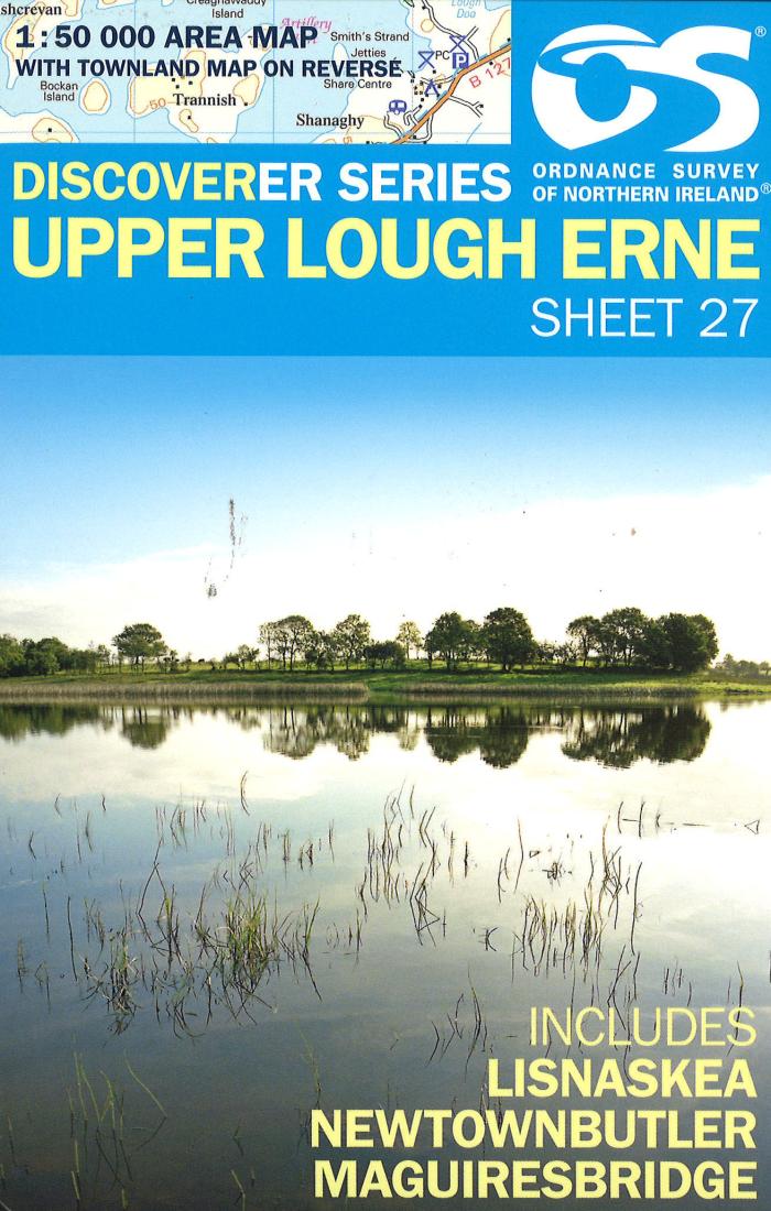
Upper Lough Erne, Northern Ireland Discovery Series #27
Upper Lough Erne, Northern Ireland Discovery Series #27
Regular price
$17.95 USD
Regular price
Sale price
$17.95 USD
Unit price
/
per
Shipping calculated at checkout.
Low stock
Couldn't load pickup availability
- SKU: IRE50_27_UPPE_11
- This Ordnance Survey map of Upper Lough Erne shows road and topographic details for the area. This map is printed in color on one side with an index on the reverse.
- Type: Folded Map
- Subtype: General Topographic
- Language: English
- Publication Date: 2011-06-01
- Scale: 1:50,000
- Regions Covered: British Isles, Europe
- Countries Covered: Ireland
- ISBN: 9781905306596
- MPN: 27
- Folded Size: 4.33" (W) x 7.09" (H)
- Unfolded Size: 27.17" (W) x 38.19" (H)
- Weight: 2.9 oz


