1
/
of
1
Fishing Hot Spots
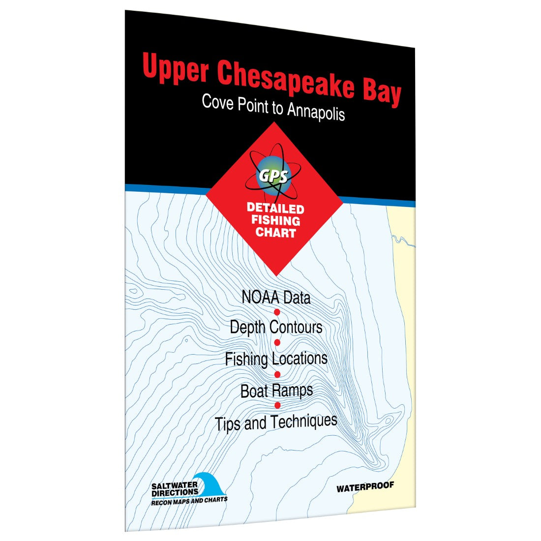
Upper Chesapeake Bay Cove Point to Annapolis Fishing Map
Upper Chesapeake Bay Cove Point to Annapolis Fishing Map
Regular price
$19.95 USD
Regular price
Sale price
$19.95 USD
Unit price
/
per
Shipping calculated at checkout.
Couldn't load pickup availability
- SKU: FHS_CHESAP_U_M0102_
- Saltwater Chart In central Maryland, water is never far away. Here, nine of the state's 23 major rivers and multiple creeks flow into Chesapeake Bay. Fresh water from this drainage measurably dilutes the seawater, opening the door for a wide variety of fish species. Added to the magnificent fishing is a prolific seafood harvest which includes millions of bushels of crab, oysters, clams and eels. Featured Species: Atlantic Croaker, Black Drum, Bluefish, Flounder, Spot Croaker, Striped Bass, Weakfish and White Perch Map Features: Tips and Techniques for Featured Species GPS Information 22Access Locations Indicated 61Proven Fishing Areas Marked Area Marina Information Artificial Reefs Indicated with GPS (if applicable) Covers coast between Cove Point and Annapolis
- Type: Folded Map
- Subtype: Fishing
- Language: English
- Regions Covered: Mid-Atlantic/Northeastern U.S., North America
- Countries Covered: United States
- States Covered: Maryland
- ISBN: 9781591890300
- UPC: 836548000314
- MPN: MD0102
- Folded Size: 6" (W) x 9" (H)
- Unfolded Size: 24" (W) x 36" (H)
- Weight: 2 oz


