Freytag & Berndt
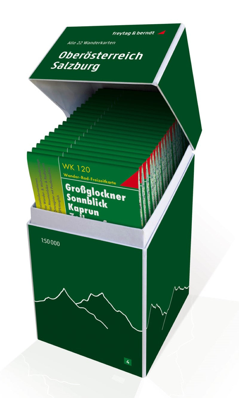
Upper Austria - Salzburg, hiking map set 1:50,000
Upper Austria - Salzburg, hiking map set 1:50,000
Regular price
$159.95 USD
Regular price
Sale price
$159.95 USD
Unit price
per
Shipping calculated at checkout.
Low stock
Couldn't load pickup availability
- SKU: FB_WK_BOX_4_20
- This unique hiking map box contains a set with all 22 hiking maps for Upper Austria and Salzburg on a scale of 1: 50,000! It is ideal for frequent hikers who want to explore nature on their tours! Freytag & Berndt hiking maps are ideal companions in hiking, mountaineering, cycling and ski tours thanks to the detailed digital cartography and the exact standards. They are also suitable for GPS. Contents: WK 051 Eisenwurzen WK 053 Mühlviertel WK 054 Traunradweg WK 062 Gesae WK 081 Pyhrn-Priel WK 082 Bad Aussee WK 103 Pongau WK 121 Großvenediger WK 152 Mayrhofen WK 191 Gasteintal WK 201 Schladminger Tauern WK 262 Bohemian forest WK WK 262 Bohemian Forest WK. 281 Dachstein WK 282 Attersee WK 382 Zell am See WK 391 Mattsee WK 392 Tennengebirge WK 393 Loferer and Leoganger Steinberge WK 431 Thermal region Innviertel WK 432 Donauradweg Passau to Eferding
- Type: Folded Map
- Subtype: Hiking
- Language: English, French, German
- Publication Date: 2013-03-20
- Scale: 1:50000
- Regions Covered: Central Europe, Europe
- Countries Covered: Austria
- ISBN: 9783707919042
- MPN: WK BOX 4
- Folded Size: 4.72" (W) x 8.45" (H)
- Unfolded Size: 4.72" (W) x 8.45" (H)
- Weight: 4.4 oz