Rand McNally
United States, Interstate Highways
United States, Interstate Highways
Regular price
$9.99 USD
Regular price
Sale price
$9.99 USD
Unit price
per
Shipping calculated at checkout.
Couldn't load pickup availability
- SKU: RM_USA_22N
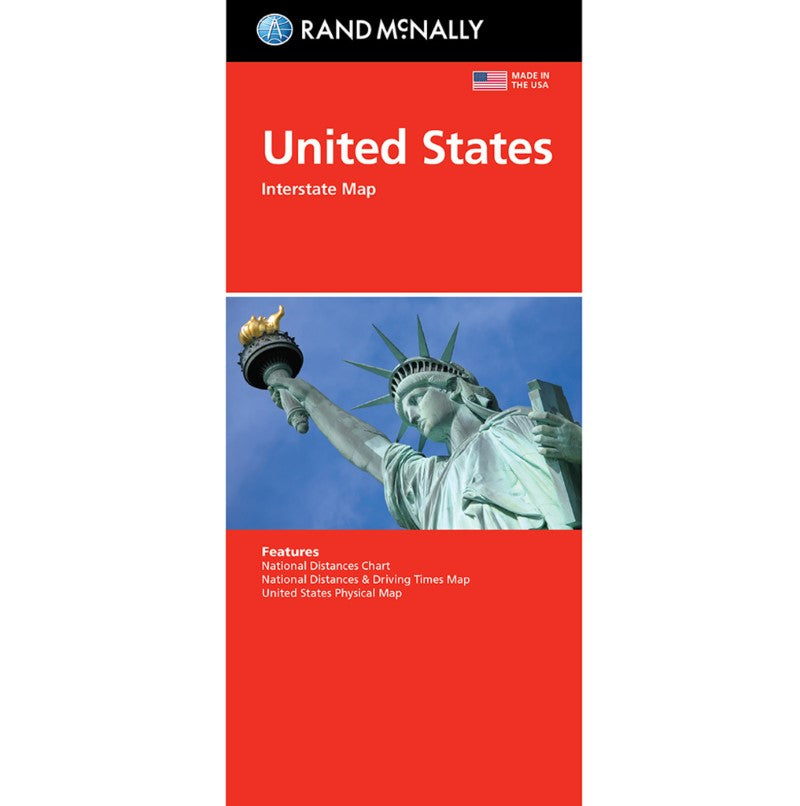
- Rand McNally's United States folded map features clear, easy-to-read cartography showing all Interstate and U.S. highways, along with clearly indicated cities, points of interest, airports, boundaries, and more. Interstate and U.S. highways Indications of cities, points of interest, airports, boundaries, and more Mileage chart Mileage & driving times map National facts and symbols Toll roads chart United States physical map Visitor information
- Type: Folded Map
- Subtype: Road
- Language: English
- Publication Date: 2022-06-01
- Scale: 1:4,815,360
- Regions Covered: North America
- Countries Covered: United States
- ISBN: 9780528027789
- UPC: 070609027784
- Folded Size: 4.33" (W) x 9.45" (H)
- Unfolded Size: 25.59" (W) x 37.01" (H)
- Weight: 2 oz