
National Geographic Maps
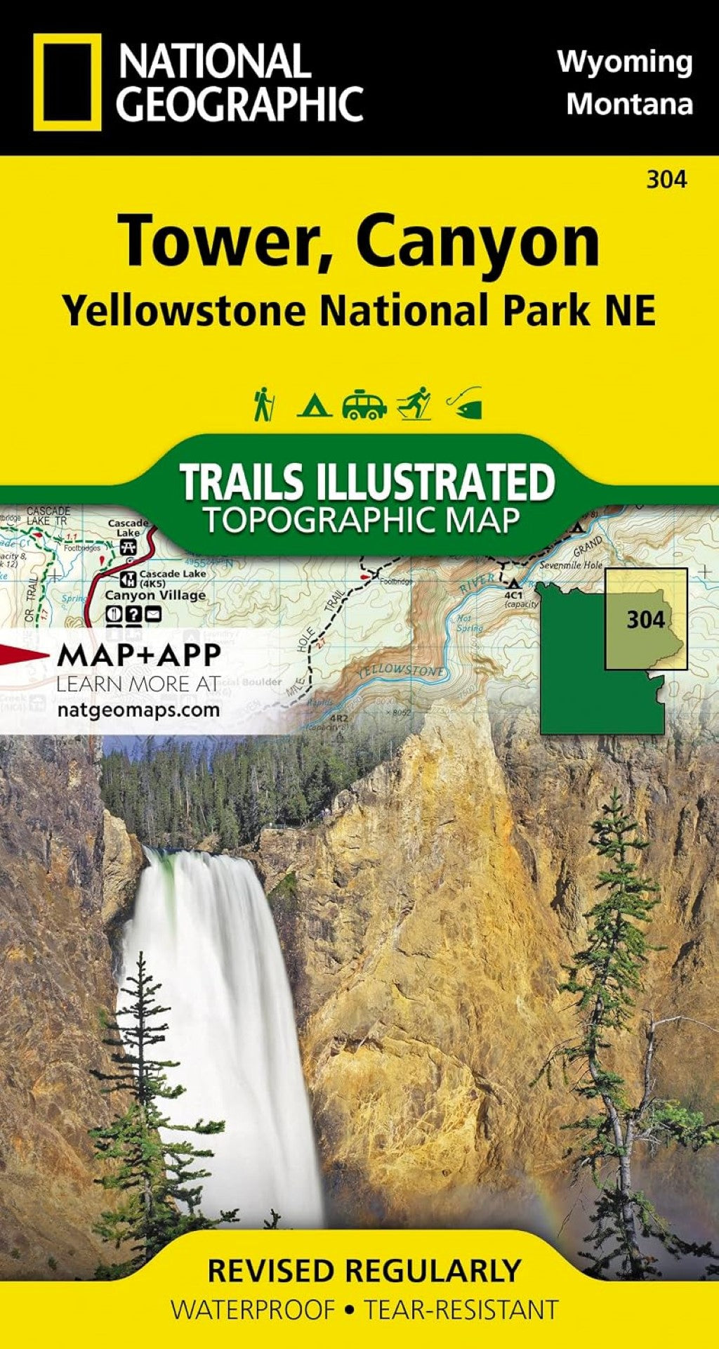
Tower/Canyon : Yellowstone National Park ne : Wyoming/Montana, USA
Tower/Canyon : Yellowstone National Park ne : Wyoming/Montana, USA
Couldn't load pickup availability
- SKU: TI_YEL_304_23
• Waterproof • Tear-Resistant • Topographic Map
National Geographic's Trails Illustrated map of the Tower and Canyon areas of Yellowstone National Park is designed to meet the needs of outdoor enthusiasts with unmatched detail of the north-east section of the national park. Expertly researched and created in partnership with local land management agencies, this map features key points of interest including Canyon Village, Roosevelt visitor area, North East Entrance Station, Gallatin National Forest, Custer National Forest, Shoshone National Forest, Absaroka-Beartooth Wilderness, and North Absaroka Wildereness.
- With many miles of mapped trails and marked Bear Management Zones the Tower, Canyon map can guide you off the beaten path and back again.
- The clearly marked trails include mileages between intersections.
The map base includes contour lines and elevations for summits, passes and many lakes. Some of the many recreation features include: visitor centers, campgrounds, trailheads, and interpretive trails.
Every Trails Illustrated map is printed on "Backcountry Tough" waterproof, tear-resistant paper. A full UTM grid is printed on the map to aid with GPS navigation.
Other features found on this map include: Beartooth Mountains, Buffalo Plateau, Cooke City, Granite Peak, Hurricane Mesa, Lamar River, Lower Falls of the Yellowstone River, Mount Washburn, Pilot Peak, Saddle Mountain, Yellowstone National Park.
- Map Scale = 1:70,000
- Sheet Size = 37.75" x 25.5"
- Folded Size = 4" x 7.5"
- Type: Folded Map
- Subtype: Park
- Language: English
- Publication Date: 2023-06-01
- Scale: 1:63,360
- Regions Covered: North America, North-central U.S./Great Plains
- Countries Covered: United States
- States Covered: Montana, Wyoming
- ISBN: 9781566954358
- UPC: 749717010499
- MPN: TI00000304
- Folded Size: 4.33" (W) x 7.48" (H)
- Unfolded Size: 21.26" (W) x 31.5" (H)
- Weight: 3.2 oz