Top Spot, Inc.
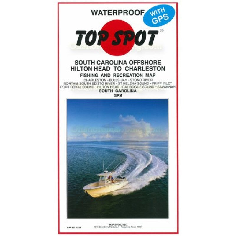
Top Spot Fishing Map N235, Hilton Head to Charleston
Top Spot Fishing Map N235, Hilton Head to Charleston
Regular price
$19.99 USD
Regular price
Sale price
$19.99 USD
Unit price
per
Shipping calculated at checkout.
Low stock
Couldn't load pickup availability
- SKU: TS_N235_SC_OFF
- Hilton Head to Charleston, South Carolina, Offshore. Top Spot Fishing Maps are waterproof and include best fishing times, the best habitats and underwater structure. Detailed information and GPS coordinates are provided for fishing locations, boat ramps, marinas and other points of interest. 2 sides, full color fishing and diving recreation map. Includes: Charleston, Bulls Bay, Stono River, North and South Edisto River, St. Helena Sound, Fripp Inlet, Port Royal Sound, Hilton Head, Calibogue Sound, Savannah.
- Type: Folded Map
- Subtype: Fishing
- Language: English
- Regions Covered: North America, Southern U.S.
- Countries Covered: United States
- States Covered: South Carolina
- UPC: 737703002351
- MPN: N235
- Folded Size: 6.75" (W) x 13" (H)
- Unfolded Size: 25" (W) x 37.5" (H)
- Weight: 5 oz