Top Spot, Inc.
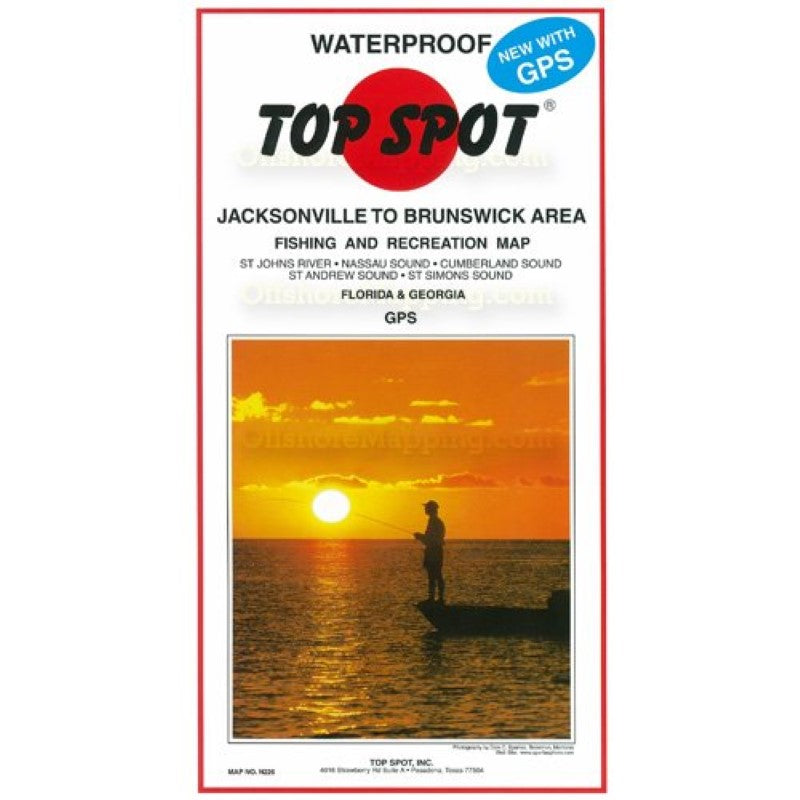
Top Spot Fishing Map N226, Jacksonville to Brunswick - St. Mary's
Top Spot Fishing Map N226, Jacksonville to Brunswick - St. Mary's
Regular price
$19.99 USD
Regular price
Sale price
$19.99 USD
Unit price
per
Shipping calculated at checkout.
Couldn't load pickup availability
- SKU: TS_N226_JACKSON
- Jacksonville to Brunswick including St. Mary's Area. Top Spot Fishing Maps are waterproof and include freshwater, inshore saltwater and offshore saltwater areas. Detailed information and GPS coordinates are provided for fishing locations, boat ramps, marinas and other points of interest. Includes: St. Johns River, Nassau Sound, Cumberland Sound, St. Andrew Sound, St. Simons Sound, Sea Island, Jekyll Island, St. Marys, Fernandina Beach.
- Type: Folded Map
- Subtype: Fishing
- Language: English
- Regions Covered: North America, Southern U.S.
- Countries Covered: United States
- States Covered: Florida, Georgia
- UPC: 737703002269
- MPN: N226
- Folded Size: 6.75" (W) x 13" (H)
- Unfolded Size: 25" (W) x 37.5" (H)
- Weight: 5 oz