Hema Maps
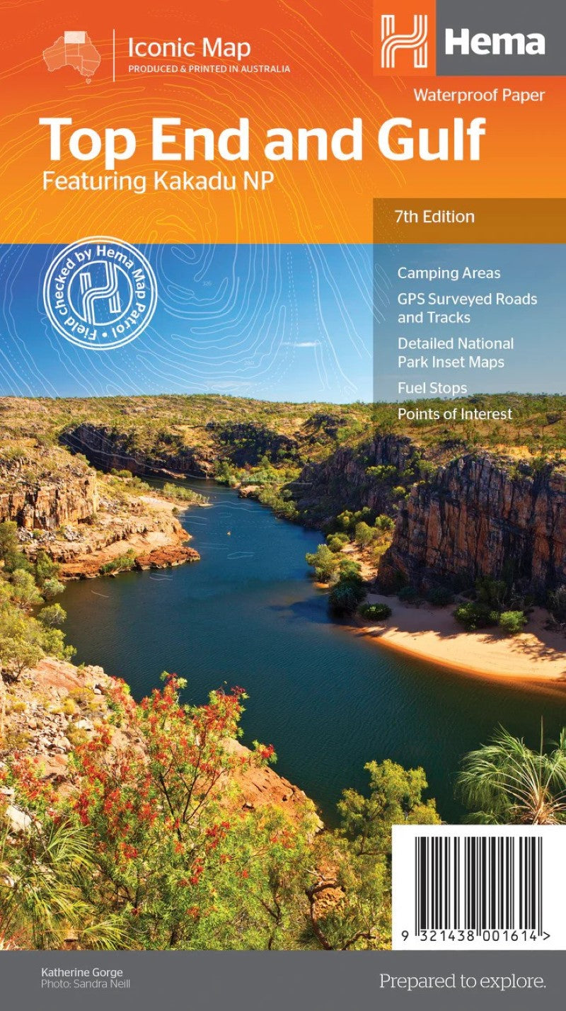
Top End and Gulf Map
Top End and Gulf Map
Regular price
$14.95 USD
Regular price
Sale price
$14.95 USD
Unit price
per
Shipping calculated at checkout.
Couldn't load pickup availability
- SKU: HEMA_TOP_END_GULF_18
- This regional waterproof map of the Top End and Gulf is ideal for discovering the northern parts of Australia's NT by 4WD. It includes a main map of the Darwin region, Judbarra / Gregory National Park, Nhulunbuy, Keep River National Park and Boodjamulla (Lawn Hill) National Park. There is additional tourist information for Arnhem Land, the Roper River trek, Darwin region, Douglas-Daly district, Nature’s Way, Victoria Highway, Katherine Region and the Stuart Highway Region.
- Type: Folded Map
- Subtype: Park
- Language: English
- Publication Date: 2018-06-01
- Scale: 1:1,650,000
- Regions Covered: Australasia, Oceania, Pacific Ocean
- Countries Covered: Australia
- States Covered: Northern Territory, Queensland
- ISBN: 9321438001614
- Folded Size: 5.51" (W) x 9.84" (H)
- Unfolded Size: 37.8" (W) x 21.26" (H)
- Weight: 3.17 oz