1
/
of
1
International Travel Maps
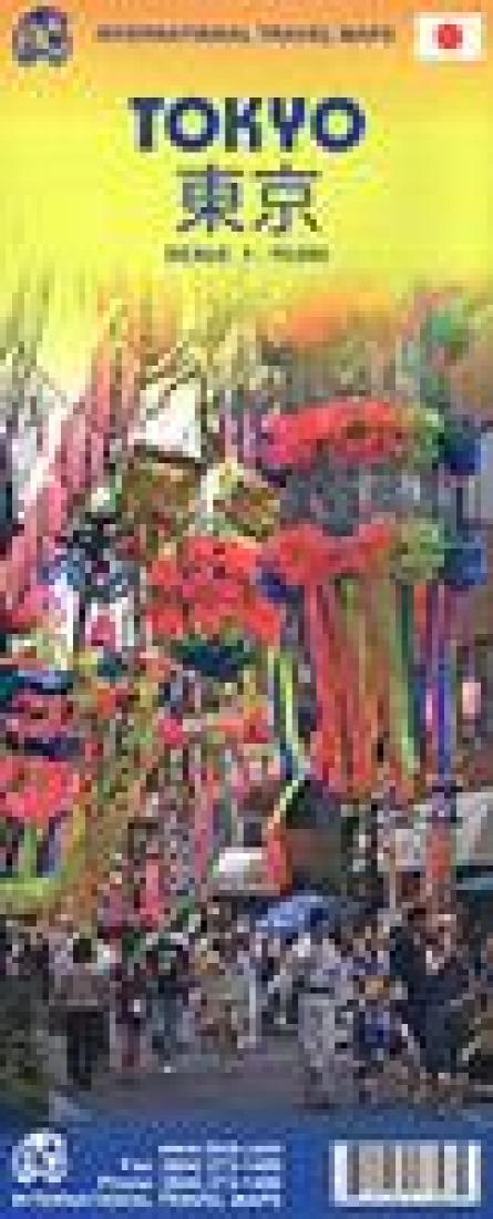
Tokyo & Central Japan
Tokyo & Central Japan
Regular price
$10.95 USD
Regular price
Sale price
$10.95 USD
Unit price
/
per
Shipping calculated at checkout.
Low stock
Couldn't load pickup availability
- SKU: ITM_T_CEN_JPN_11
- This map has a map of the central district of Tokyo at 1:15,000 and a map on the reverse showing the central area of Japan at 1:800,000. The Tokyo map is a street map showing the division of districts into zones and blocks. Metro and other public transport stations are marked, and line numbers are noted. Extensive range of symbols highlight facilities, places of interest and institutions, including selected hotels, department stores and shopping centers, embassies, religious temples and shrines, water taxi stops, and much more. Tokyo generally does not use street names, so the street index is very short. There is an index of metro stations, district names, and a metro map. The regional road map covers central Japan (central Honshu) including Osaka, Kyoto, and Tokyo. showing road connections and railway lines and administrative boundaries with names of districts. Elevation is shown by color tinting plus spot heights. National parks and protected areas are highlighted, including Mount Fuji, and various shrines and other places of interest marked by symbols. The map is indexed and has a 1° latitude and longitude grid.
- Type: Folded Map
- Subtype: Travel
- Language: English
- Publication Date: 2011-06-01
- Scale: 1:15,000
- Regions Covered: Asia, East Asia, Pacific Ocean
- Countries Covered: Japan
- States Covered: Tokyo
- UPC: 815534173485
- Folded Size: 3.94" (W) x 9.84" (H)
- Unfolded Size: 27.17" (W) x 40.16" (H)
- Weight: 2 oz


