Institut Geographique National
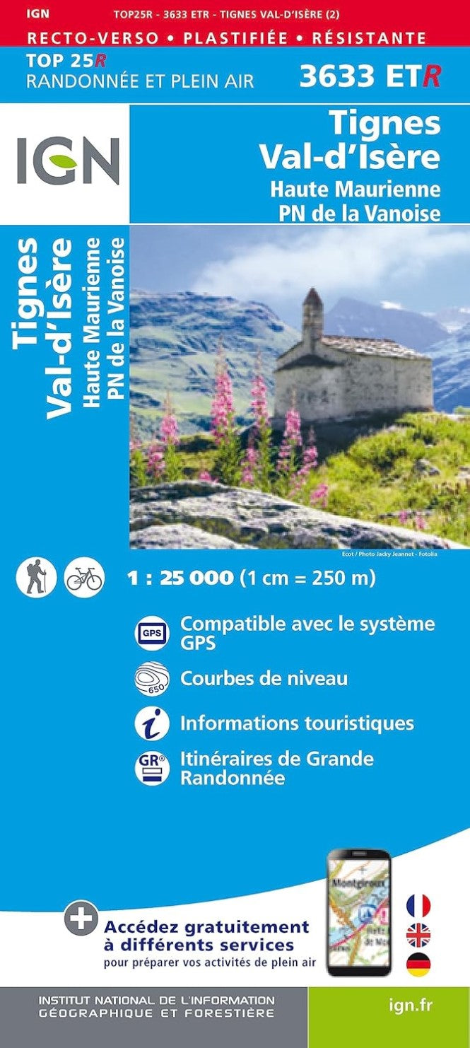
Tignes, Val d'Isere, Haute Maurienne Top 25 Hiking & Cycling Waterproof Map
Tignes, Val d'Isere, Haute Maurienne Top 25 Hiking & Cycling Waterproof Map
Regular price
$22.95 USD
Regular price
Sale price
$22.95 USD
Unit price
per
Shipping calculated at checkout.
Low stock
Couldn't load pickup availability
- SKU: IGN25_3633ETR_18
- This IGN title provides topographic and tourist details for Tignes. Val d'Isere and Haute Marienne. The map's legend is in English and French.
- Type: Folded Map
- Subtype: General Topographic
- Language: French
- Publication Date: 2018-06-01
- Scale: 1:25000
- Regions Covered: Alps, Europe, Western Europe
- Countries Covered: France
- ISBN: 9782758543527
- MPN: 3633 ET
- Folded Size: 4.25" (W) x 9" (H)
- Unfolded Size: N/A
- Weight: 3.22 oz