Editorial Alpina
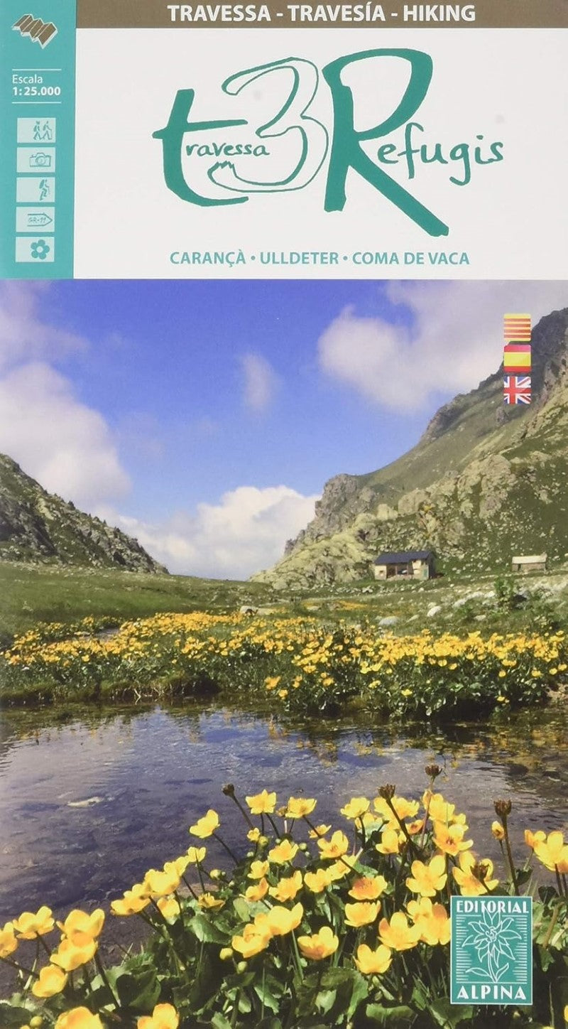
Three Refuges Trek Hiking Map & Guide: Carança-Ulldeter
Three Refuges Trek Hiking Map & Guide: Carança-Ulldeter
Couldn't load pickup availability
- SKU: EAL_REF_19
The Three Refuges Trek is a spectacular multi-day hiking route through the unspoilt mountain landscapes of the eastern Pyrenees, linking the mountain refuges of Ulldeter, Ras de Carança, and Coma de Vaca. Stretching across the regions of Ripollès and Haut Conflent, this remarkable journey takes you through one of the best-preserved natural areas in the Pyrenees, renowned for its dramatic scenery and exceptional biodiversity.
This guide introduces an unforgettable adventure through rugged alpine terrain, where hikers encounter spectacular gorges, crystal-clear mountain lakes, ancient forests, vibrant wildflowers, and an abundance of wildlife. Each day's walk ends at a welcoming staffed mountain refuge, providing the perfect place to rest, enjoy hearty mountain hospitality, and prepare for the next stage of the trek.
The classic circuit features over 3,000 metres of cumulative ascent, making it a rewarding challenge for experienced walkers. Those looking for an even greater adventure can extend the route with ascents of the region's iconic peaks, including Balandrau, Bastiments, Gra de Fajol, Gallinas, Torreneules, and Puigmal, increasing the total elevation gain to more than 6,000 metres.
Whether you're planning the complete traverse or exploring individual sections, this guide is an essential companion for discovering one of the eastern Pyrenees' most rewarding long-distance hiking experiences.
- Type: Folded Map
- Subtype: Hiking
- Language: Catalan, English, Spanish
- Publication Date: 2019-06-07
- Scale: 1:25,000
- Regions Covered: Europe, Western Europe
- Countries Covered: Spain
- ISBN: 9788480907897
- Folded Size: N/A
- Unfolded Size: N/A