Terrain Editions
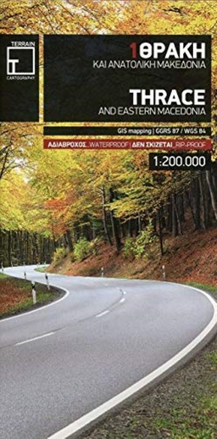
Thrace and Eastern Macedonia Regional Map (#1)
Thrace and Eastern Macedonia Regional Map (#1)
Couldn't load pickup availability
- SKU: TERR_1_THRACE_13
Road and touring map of Thrace including eastern Macedonia, as well as the islands of Samothrace and Thasos.
Features all the newest national motorways, their interchanges, toll stations and Motorway Service Stations, as well as Egnatia motorway, its interchanges and vertical axes, and the border crossings.
Excellent map composition, which makes the map delightfully readable. TERRAIN’s map of Epirus is the map with the most ‘practiced’ composition, and the final result is impressive: all roads, villages, sights and points of interest that a 1:200.00 scale can ‘tolerate,’ are so meticulously placed on the map that using it is a piece of cake!
Depicts all tourist attractions, archaeological sites, castles, monasteries, National Parks, caves, scenic routes, campsites, mountain refuges and main trails.
G.I.S. mapping technology in two geodetic reference systems (ΕΓΣΑ 87 and WGS 84.)
Printed on indestructible polyart paper.
Includes a complete alphabetical index of all towns and villages, monasteries and archaeological sites.- Type: Folded Map
- Subtype: Road
- Language: English
- Publication Date: 2013-06-01
- Scale: 1:200,000
- Regions Covered: Balkans, Europe, Mediterranean Sea
- Countries Covered: Greece
- ISBN: 9789609456265
- MPN: 1
- Folded Size: 5" (W) x 9.75" (H)
- Unfolded Size: N/A
- Weight: 3 oz


