1
/
of
1
Ordnance Survey
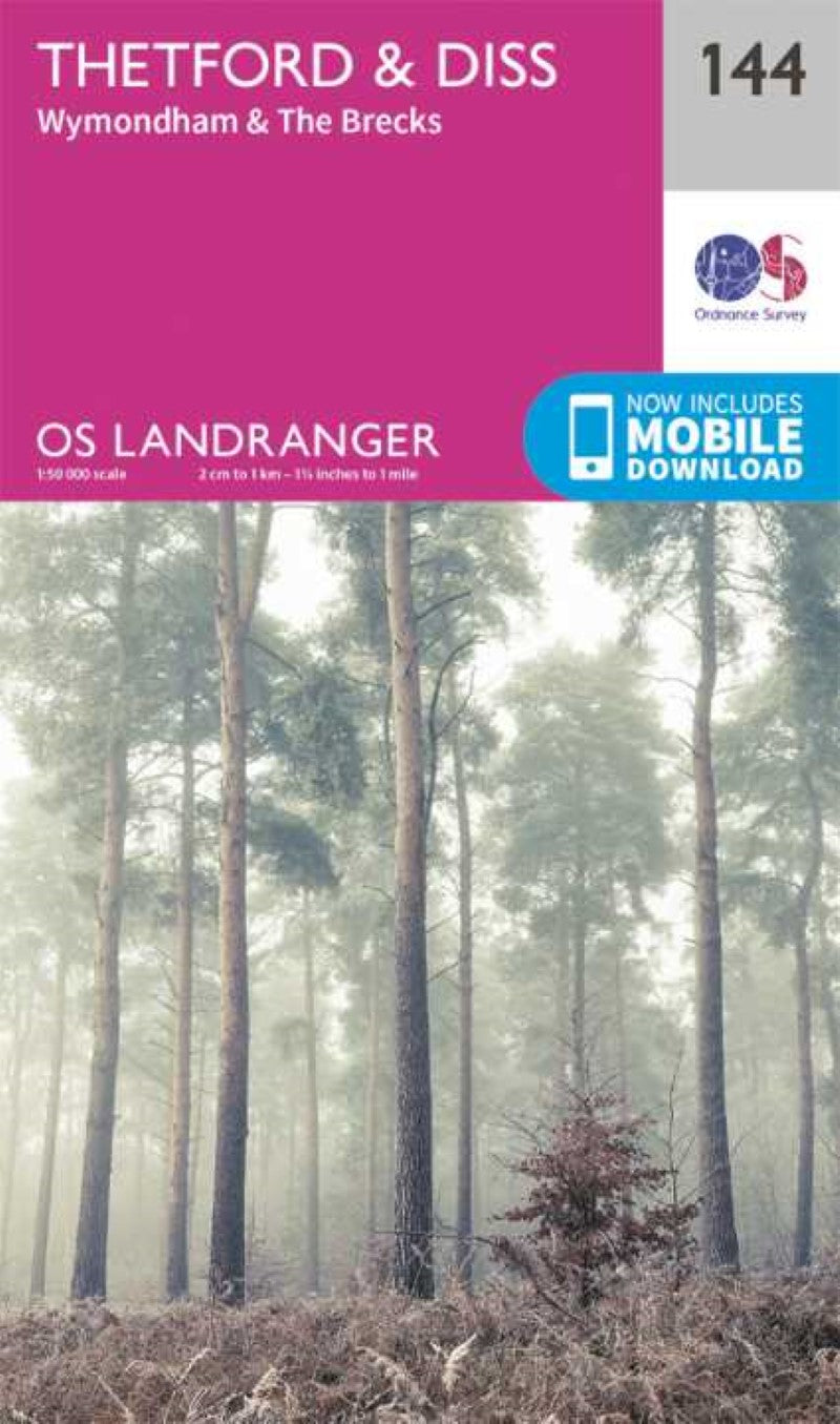
Thetford & Diss/ Breckland & Wymondham Landranger Map
Thetford & Diss/ Breckland & Wymondham Landranger Map
Regular price
$22.95 USD
Regular price
Sale price
$22.95 USD
Unit price
/
per
Shipping calculated at checkout.
Low stock
Couldn't load pickup availability
- SKU: OS_L_144_19
Map sheet number 144 in the OS Landranger map series is the ideal map for planning days out and holidays to Norfolk. Walk part of the Peddars Way & Norfolk Coast Path. Towns included in the area of this map are Thetford, Diss, Wymondham, Breckland, Attleborough and Watton. The map covers an area of 40 km by 40 km (25 miles by 25 miles).
Includes mobile download With this map you will receive a code for use on your iOS or Android smartphone or tablet. Find our more at Mobile Download FAQ.
- Type: Folded Map
- Subtype: General Topographic
- Language: English
- Publication Date: 2019-07-04
- Regions Covered: British Isles, Europe
- Countries Covered: United Kingdom
- States Covered: England
- ISBN: 9780319262429
- MPN: 144
- Folded Size: 5.5" (W) x 9" (H)
- Unfolded Size: N/A
- Weight: 2.89 oz


