Raven Maps
The United States Land Cover Elevation Tints Fine Art Print Map
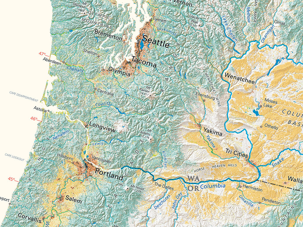
The United States Land Cover Elevation Tints Fine Art Print Map
Regular price
$95.00 USD
Regular price
Sale price
$95.00 USD
Unit price
per
Shipping calculated at checkout.
Couldn't load pickup availability
- SKU: PODRP_USA_LC_44X30_WA
Land Cover maps combine shaded relief with colors representing forests, farmland, wetlands, built-up areas, and other categories of land cover. These maps are particularly effective in showing geographic characteristics that may not appear at all in the classic Elevation Tint treatment. Good examples are the wetlands of Northern Minnesota and Northern Michigan or the forest lands of East Texas.
Dimensions: All map dimensions are approximate.
- Type: Flat Map
- Subtype: Wall Art
- Language: English
- Regions Covered: North America
- Countries Covered: United States
- UPC: 767020015598
- MPN: united-states-land-cover-map
- Folded Size: N/A
- Unfolded Size: 44" (W) x 30" (H)
- Finish: Regular Paper