Raven Maps
The Southern Rockies Elevation Tints Fine Art Print Map
The Southern Rockies Elevation Tints Fine Art Print Map
Regular price
$75.00 USD
Regular price
Sale price
$75.00 USD
Unit price
per
Shipping calculated at checkout.
Couldn't load pickup availability
- SKU: PODRP_SO_ROCKY_ELEV_24X30_WA
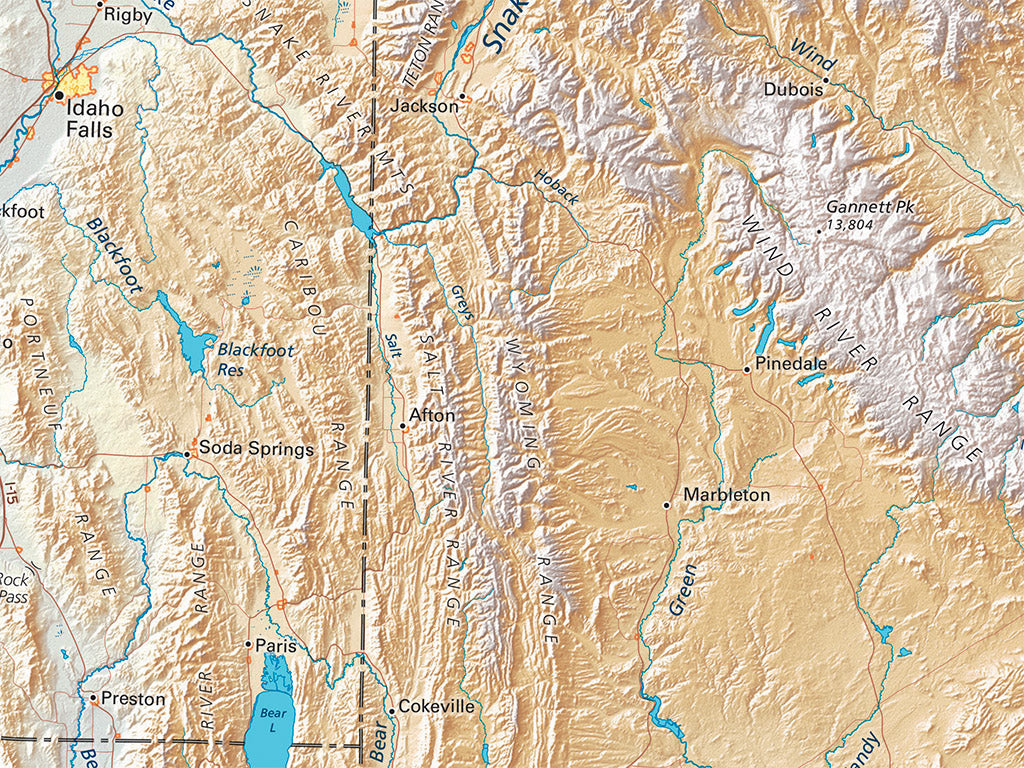
This map covers the central Mountain West from central Wyoming down into northern Mexico. It includes the westernmost high plains on the east, and a good deal of eastern Nevada and southeastern California on the west. Idaho’s Snake River Plain occupies the northwestern corner, and South Dakota’s Black Hills can be (barely) seen at the northeast. All of the Colorado / Green river system is shown, and most of the Rio Grande and Pecos.
The map includes all of Utah, Colorado, Arizona, and New Mexico; most of Wyoming; a lot of Nevada; and smaller portions of neighboring states and Mexico.
Dimensions: All map dimensions are approximate.- Type: Flat Map
- Subtype: Wall Art
- Language: English
- Regions Covered: Central U.S., North America, Southern U.S., Southwestern U.S., Western U.S.
- Countries Covered: United States
- States Covered: Arizona, Colorado, New Mexico, Utah
- UPC: 767020015253
- MPN: southern-rockies-map
- Folded Size: N/A
- Unfolded Size: 24" (W) x 30" (H)
- Finish: Regular Paper