Longitude Maps
The Southern Plains Elevation Tints Fine Art Print Map
The Southern Plains Elevation Tints Fine Art Print Map
Couldn't load pickup availability
- SKU: PODRP_S_PLAINS_ELEV_24X31_WA
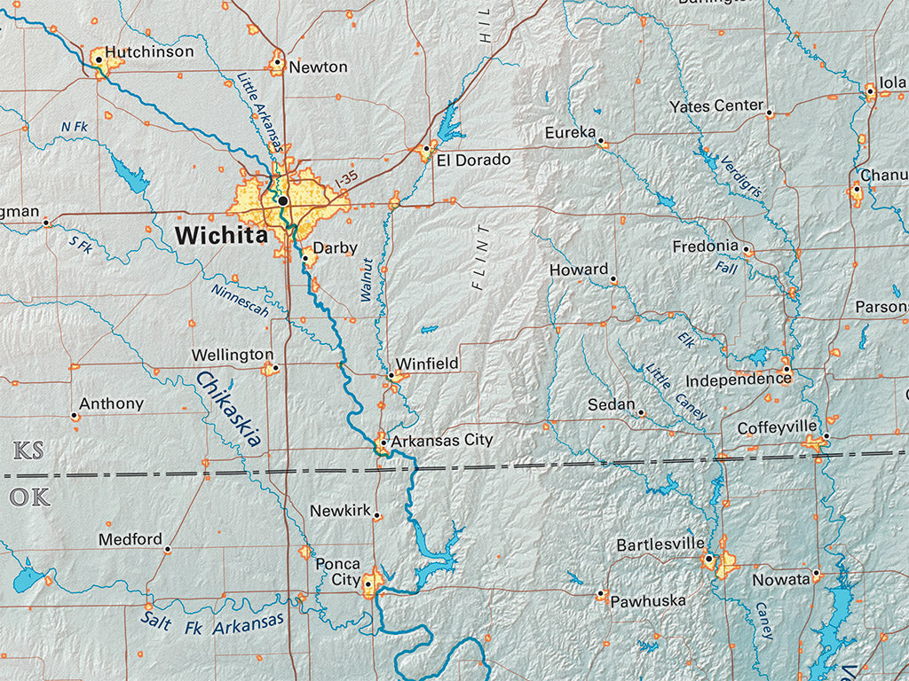
This Region spans a notable diversity of environments, from the hurricane sub-tropics of the Gulf Coast to the arid high plains west of Texas' Caprock Escarpment. Greater Texas' historical and political diversity is similarly striking. Mexican settlement brought European colonialism as far as the upper Rio Grande before Jamestown or Plymouth, and the region's sovereignty was not finally settled until the end of the Civil War.
This map covers all of the Rio Grande Basin, from the Rockies in Southern Colorado to the Gulf of Mexico, and including most of the Rio Grande’s basin in northern Mexico. Nearly all of the Arkansas River is included on the north, and the Ozark Plateau and Ouachita Mountains on the east. The map includes all of Texas and Oklahoma, most of New Mexico, a lot of Colorado, Kansas, and Arkansas as well as northern Mexico.
Dimensions: All map dimensions are approximate.- Type: Flat Map
- Subtype: Wall Art
- Regions Covered: North America, Southern U.S.
- Countries Covered: United States
- States Covered: New Mexico, Oklahoma, Texas
- UPC: 767020014881
- MPN: southern-plains-map
- Folded Size: N/A
- Unfolded Size: 24" (W) x 31" (H)
- Finish: Regular Paper