Raven Maps
The South Atlantic Coast Elevation Tints Fine Art Print Map
The South Atlantic Coast Elevation Tints Fine Art Print Map
Couldn't load pickup availability
- SKU: PODRP_S_ATL_COAST_ELEV_23X36_WA
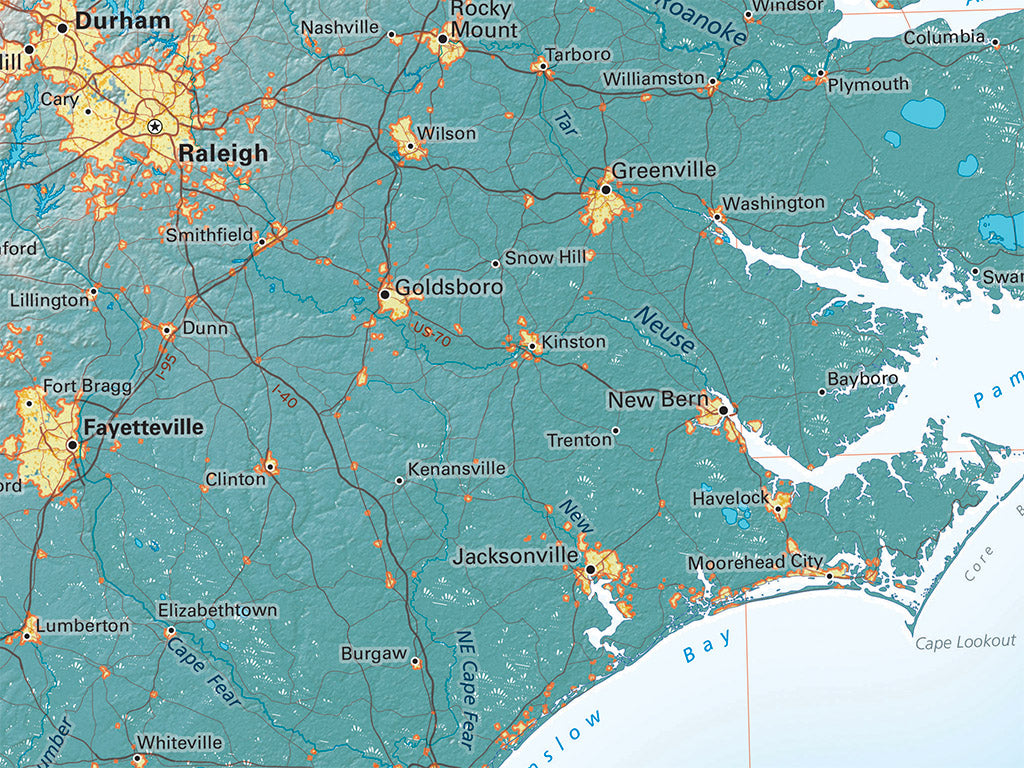
Florida's Gulf Coast isn't Atlantic, but showing only part of the peninsula looks like a mistake; including Cape Hatteras makes both geographic and design sense, but means also including a great deal of the upland South, far from the South Atlantic. What this layout loses in focus is made up for by the advantage of showing the full extent of the rivers whose lower courses are such an important feature of the region.
This map covers all of the Florida Peninsula, extending west to the Apalachicola River. In the Atlantic we include the Bahamas south and east as far as Great Exuma Island. The Atlantic Coast is shown north up to the Virginia state line and includes all of North Carolina, South Carolina, and Georgia as well as most of Florida (the western Panhandle is NOT included), eastern Tennessee, and the eastern edge of Alabama.
Dimensions: All map dimensions are approximate.- Type: Flat Map
- Subtype: Wall Art
- Language: English
- Regions Covered: North America, Southern U.S.
- Countries Covered: United States
- States Covered: Florida, Georgia, North Carolina, South Carolina
- UPC: 767020014812
- MPN: south-atlantic-coast
- Folded Size: N/A
- Unfolded Size: 23" (W) x 36" (H)
- Finish: Regular Paper