Himalayan MapHouse Pvt. Ltd
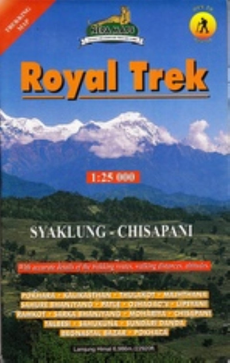
The ROYAL TREK - Shyaklung - Chisopani map.
The ROYAL TREK - Shyaklung - Chisopani map.
Regular price
$17.99 USD
Regular price
Sale price
$17.99 USD
Unit price
per
Shipping calculated at checkout.
Low stock
Couldn't load pickup availability
- SKU: NEP_ROYAL_
- This topographic map covers the Royal Trek from Pokhara to Kalikasthan, Thulakot, Majhasthan, Shaure Bhanjyang, Patle, Ojagaon, Lipeni, to Shyaklung, and back to Pokhara via Ramkot, Sarka Bhanjyang, Moharya, Chisopani, Tal Besi, Rupa Tal, Saukunda, Sundari Danda, and Begnas Tal. Longitude: 84° 00' - 84° 10'. Latitude: 28° 07' - 28° 15'. Altitude Range: 580m - 1250m.
- Type: Folded Map
- Subtype: Hiking
- Language: English
- Scale: 1:25,000
- Regions Covered: Asia, Himalayas, South Asia
- Countries Covered: Nepal
- ISBN: 9799993323142
- Folded Size: 5.5" (W) x 9" (H)
- Unfolded Size: 35" (W) x 25" (H)
- Weight: 3 oz