Raven Maps
The Northern Rockies Elevation Tints Fine Art Print Map
The Northern Rockies Elevation Tints Fine Art Print Map
Regular price
$75.00 USD
Regular price
Sale price
$75.00 USD
Unit price
per
Shipping calculated at checkout.
Couldn't load pickup availability
- SKU: PODRP_NO_ROCKY_ELEV_24X29_WA
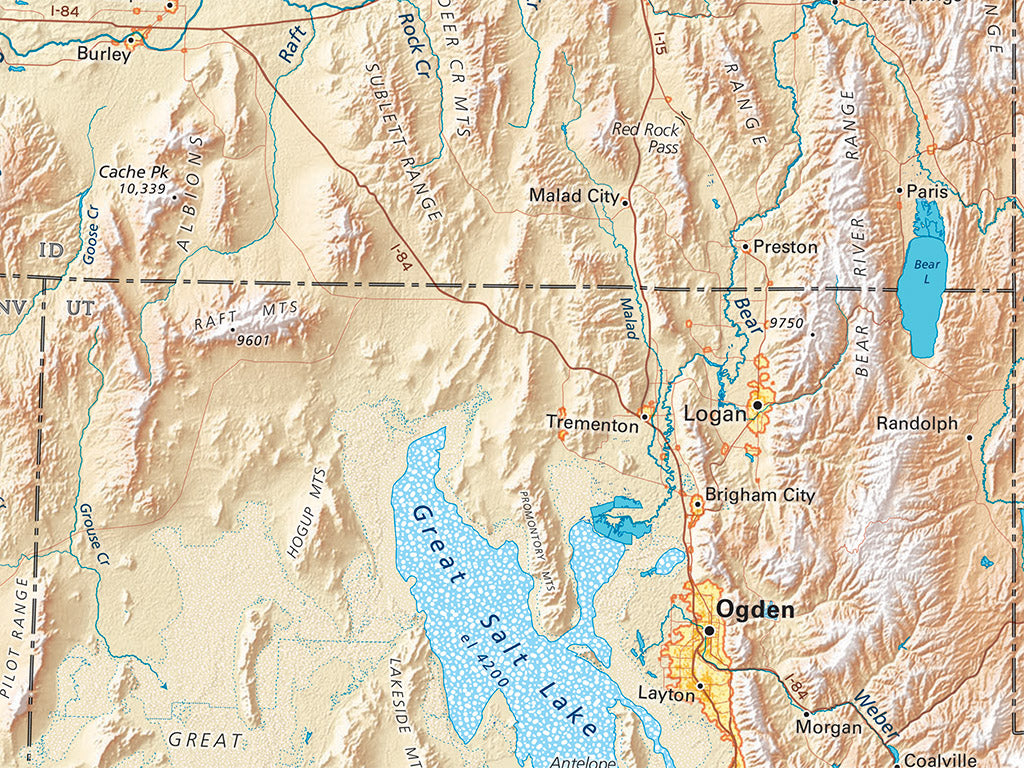
The map is centered just north of Yellowstone. The headwaters of much of North America’s river systems meet here: The Columbia-Snake, the Missouri, and the Green River portion of the Colorado. The North and South Saskatchewan rise one narrow ridge east of the Columbia.
The Northern Rockies regional map covers all of Idaho, Montana, and Wyoming. Neighboring portions of British Columbia, Alberta, Saskatchewan, the Dakotas, Colorado (a sliver), Utah, Nevada, Oregon and Washington are also shown.
Dimensions: All map dimensions are approximate.- Type: Flat Map
- Subtype: Wall Art
- Language: English
- Regions Covered: North America, North-central U.S./Great Plains
- Countries Covered: United States
- States Covered: Idaho, Montana, Wyoming
- UPC: 767020013594
- MPN: northern-rockies
- Folded Size: N/A
- Unfolded Size: 24" (W) x 29" (H)
- Finish: Regular Paper