Raven Maps
The Northern Plains Elevation Tints Fine Art Print Map
The Northern Plains Elevation Tints Fine Art Print Map
Regular price
$75.00 USD
Regular price
Sale price
$75.00 USD
Unit price
per
Shipping calculated at checkout.
Couldn't load pickup availability
- SKU: PODRP_N_PLAINS_ELEV_26X27_WA
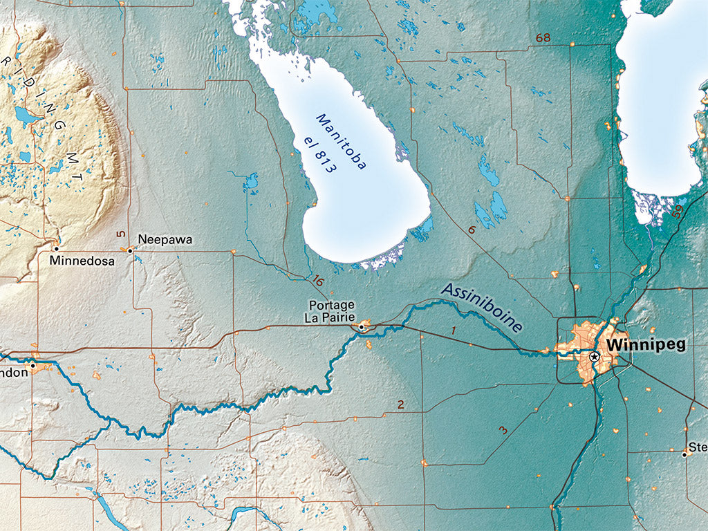
The central feature of the Northern Plains is the expanse of lowlands draining both north, into Hudson Bay through the Red River and Lake Winnipeg, and south into the Gulf of Mexico, through the Missouri and Mississippi. The north-south continental divide here is Lake Traverse on the Minnesota-South Dakota border.
The Northern Plains regional map includes all of the Dakotas and Minnesota, along with large portions of Saskatchewan, Manitoba and Ontario, much of Wisconsin, and parts of Iowa, Nebraska, Wyoming and Montana .
Dimensions: All map dimensions are approximate.
- Type: Flat Map
- Subtype: Wall Art
- Language: English
- Regions Covered: North America, North-central U.S./Great Plains
- Countries Covered: United States
- States Covered: Minnesota, North Dakota, South Dakota
- UPC: 767020013129
- MPN: northern-plains
- Folded Size: N/A
- Unfolded Size: 26" (W) x 27" (H)
- Finish: Regular Paper