Raven Maps
The North Atlantic Coast Elevation Tints Fine Art Print Map
The North Atlantic Coast Elevation Tints Fine Art Print Map
Couldn't load pickup availability
- SKU: PODRP_NO_ATL_COAS_ELEV_31X21_WA
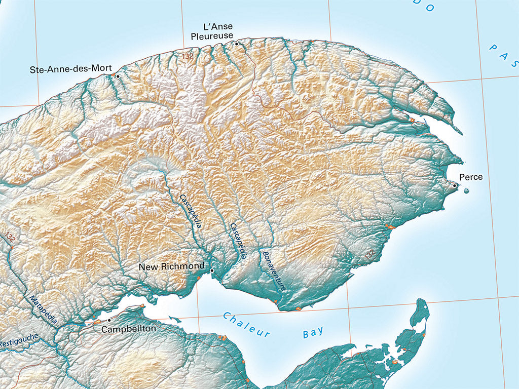
In the United States we tend to think of the New England states as our extreme northeastern corner. They are that, but they're also the middle region of the continental corner--the central coastal strip of the greater region centered on the St. Lawrence River Valley. The Gulf of Maine and Bay of Fundy define the south coast, and the Gulf of St. Lawrence, the north coast, and the St. Lawrence River defines the great far northern center of North American settlement.
Included on the map: All of New York, Pennsylvania, Rhode Island, Connecticut, Massachusetts, Vermont, New Hampshire, and Maine. Also, all of New Brunswick, Nova Scotia, Prince Edward Island, and quite a bit of New Jersey and Quebec, as well as a small portion of Ontario and Newfoundland and Labrador.
Dimensions: All map dimensions are approximate.- Type: Flat Map
- Subtype: Wall Art
- Language: English
- Regions Covered: Mid-Atlantic/Northeastern U.S., North America
- Countries Covered: Canada, United States
- States Covered: Connecticut, Maine, Massachusetts, New Brunswick, New Hampshire, New York, Nova Scotia, Pennsylvania, Prince Edward Island, Rhode Island, Vermont
- UPC: 767020013532
- MPN: north-atlantic-map
- Folded Size: N/A
- Unfolded Size: 31" (W) x 21" (H)
- Finish: Regular Paper